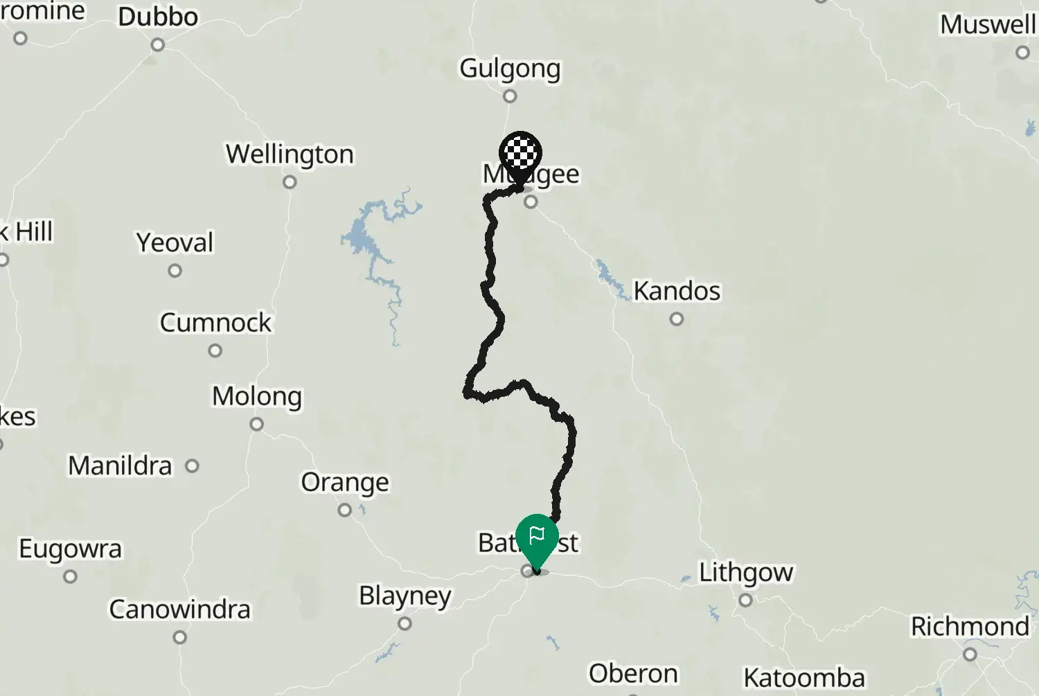
Tourist Drive 1: Hartley to Bathurst via Jenolan Caves
Motorcycle route from Hartley to Bathurst · Australia · New South Wales
Distance11873.2kmmi
Elevation2,2067,240mft
Duration2h 30m
Route typePoint to point
CurvinessMedium
Along this route
0 km0 miHartleyStart
118 km73 miBathurstFinish
About this route
Jenolan Caves Road from the Great Western Highway near Hartley down to Jenolan Caves, then Edith Road to Oberon and O'Connell Road to Bathurst. The descent to the caves is steep and tight, with hairpins and a narrow stone archway at the bottom; after that the road opens up over the high plateau around Oberon. Central NSW. The tablelands get frost and sometimes snow from June to August: expect ice in shaded bends on cold mornings. Australia drives on the left. Watch for kangaroos and wallabies at dawn and dusk, and for cattle grids and stock on the road in farm country.
Check road conditions and closures before you ride.
Route line: Transport for NSW, NSW Tourist Routes (Tourist Drive 1, Hartley to Bathurst), Open Data Hub, licensed under CC BY 4.0 (https://creativecommons.org/licenses/by/4.0/): https://opendata.transport.nsw.gov.au/dataset/nsw-tourist-routes. Modified by Motarva: snapped to roads, gaps filled by routing. This is not an official route file and is not endorsed by Transport for NSW.
SourceTransport for NSW, NSW Tourist RoutesNSW Tourist Routes (tourist_drives v2), Tourist Drive 1, Hartley to Bathurst. Changes: snapped to roads, gaps filled by routing.
Licence: CC BY 4.0· Modified by Motarva. Not an official publication of the source.
We use cookies to keep your ride smooth, remember your preferences, and figure out which roads get the most traffic.
Functional
Always active
The technical storage or access is strictly necessary for the legitimate purpose of enabling the use of a specific service explicitly requested by the subscriber or user, or for the sole purpose of carrying out the transmission of a communication over an electronic communications network.
Preferences
The technical storage or access is necessary for the legitimate purpose of storing preferences that are not requested by the subscriber or user.
Statistics
The technical storage or access that is used exclusively for statistical purposes.The technical storage or access that is used exclusively for anonymous statistical purposes. Without a subpoena, voluntary compliance on the part of your Internet Service Provider, or additional records from a third party, information stored or retrieved for this purpose alone cannot usually be used to identify you.
Marketing
The technical storage or access is required to create user profiles to send advertising, or to track the user on a website or across several websites for similar marketing purposes.