
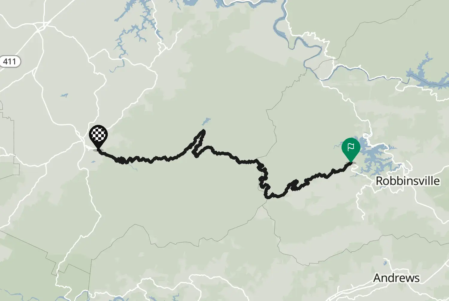
North Carolina
High 65 km40 mi
A loop through the Chattahoochee National Forest north of Helen, Georgia: the Richard B. Russell Scenic Highway over the Blue Ridge, Highway 180 past the foot of Brasstown Bald, Georgia's highest peak, and Highway 17/75 back past Unicoi Gap. Short, curvy and hilly, with overlooks and streams. The steep spur road up Brasstown Bald is not part of this loop. Weekends and the autumn colours bring a lot of traffic around Helen.
Check road conditions, closures and opening dates before you ride.
Route line: U.S. Department of Transportation, Federal Highway Administration (FHWA), America's Byways® layer, byway 51_GA, layer version of 4 August 2026, public domain: https://www.arcgis.com/home/item.html?id=8bda53a21f8b4c7ca2fc76523ba2110a. Modified by Motarva: snapped to roads, side spurs left out. This is not an official route file from the FHWA.
Source Federal Highway Administration (FHWA), America's Byways America's Byways® layer FHWA_ScenicByways_08042026 (), byway 51_GA. Changes: snapped to roads, side spurs left out.
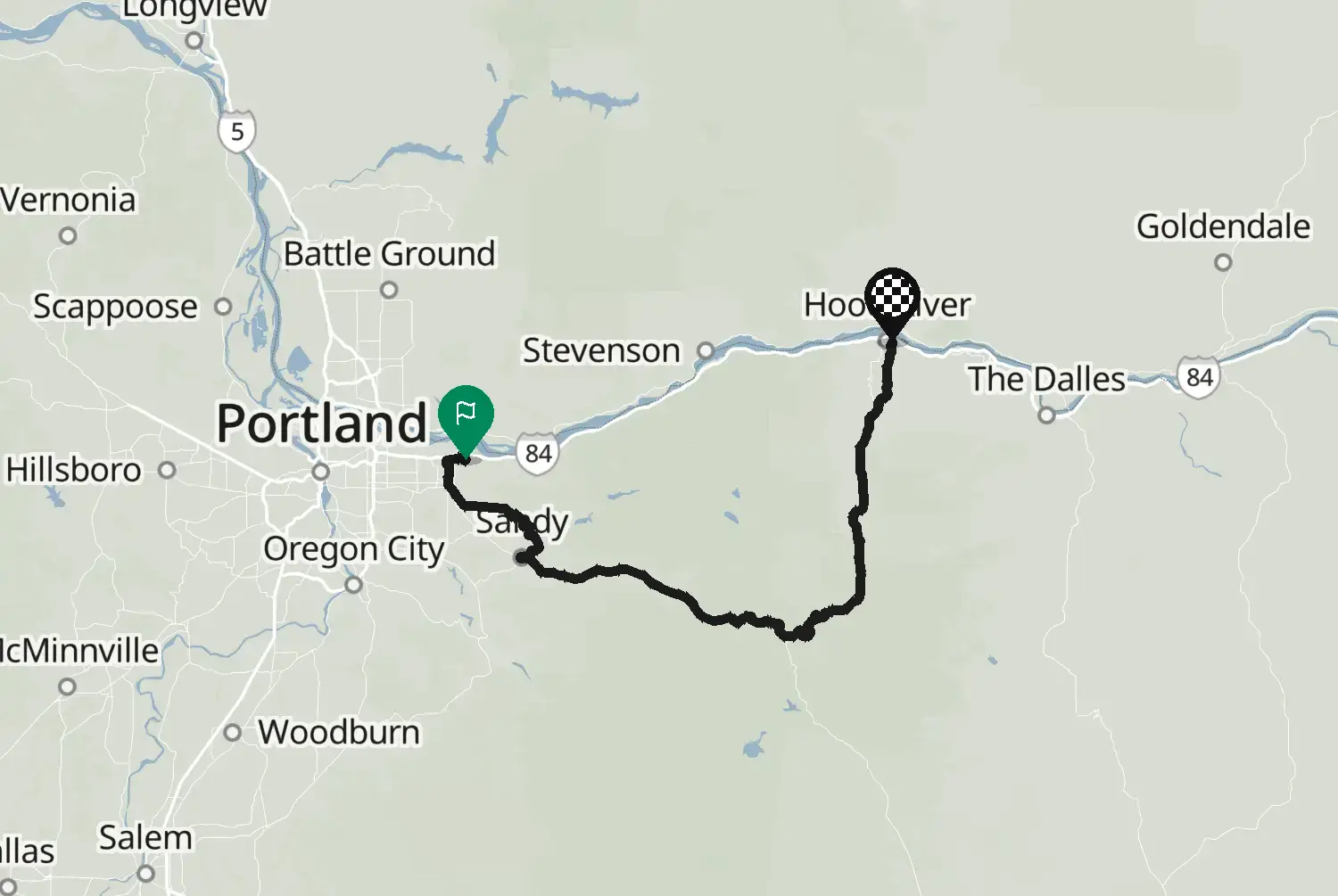
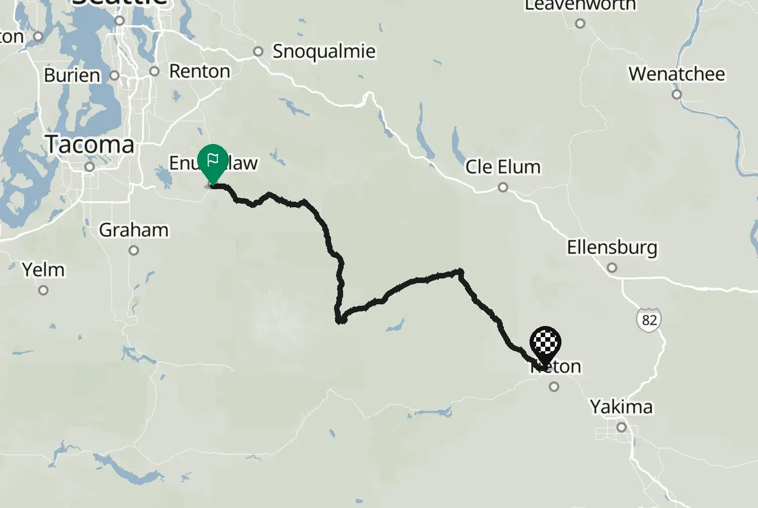
Measured from the route itself, with roundabouts and slip roads left out. Corners are counted, not judged.