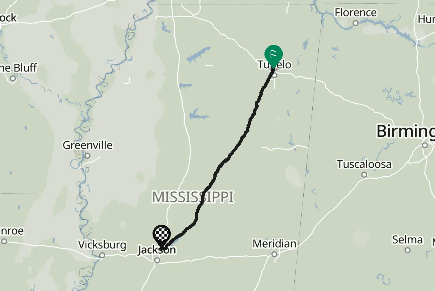
Motorcycle route from Ridgeland to Natchez · United States · Mississippi
Distance165102kmmi
Elevation1,1033,620mft
Duration3h 11m
Route typePoint to point
CurvinessLow
Along this route
0 km0 miRidgelandStart
165 km102 miNatchezFinish
About this route
The southern part of the Natchez Trace Parkway, from Ridgeland past Jackson through the hills of southwest Mississippi to Natchez on the Mississippi River. Stops along the way include the Sunken Trace, a stretch of the old footpath worn deep into the ground, and Emerald Mound near the end. The Parkway has a 50 mph limit (lower in places), no trucks and no fuel stations: you leave it at the exits to fill up. Watch for deer and for cyclists.
Check road conditions, closures and opening dates before you ride.
Route line: U.S. Department of Transportation, Federal Highway Administration (FHWA), America's Byways® layer, byway 2_AL/2_MS/2_TN, layer version of 4 August 2026, public domain: https://www.arcgis.com/home/item.html?id=8bda53a21f8b4c7ca2fc76523ba2110a. Modified by Motarva: snapped to roads, split into stages. This is not an official route file from the FHWA.
We use cookies to keep your ride smooth, remember your preferences, and figure out which roads get the most traffic.
Functional
Always active
The technical storage or access is strictly necessary for the legitimate purpose of enabling the use of a specific service explicitly requested by the subscriber or user, or for the sole purpose of carrying out the transmission of a communication over an electronic communications network.
Preferences
The technical storage or access is necessary for the legitimate purpose of storing preferences that are not requested by the subscriber or user.
Statistics
The technical storage or access that is used exclusively for statistical purposes.The technical storage or access that is used exclusively for anonymous statistical purposes. Without a subpoena, voluntary compliance on the part of your Internet Service Provider, or additional records from a third party, information stored or retrieved for this purpose alone cannot usually be used to identify you.
Marketing
The technical storage or access is required to create user profiles to send advertising, or to track the user on a website or across several websites for similar marketing purposes.