
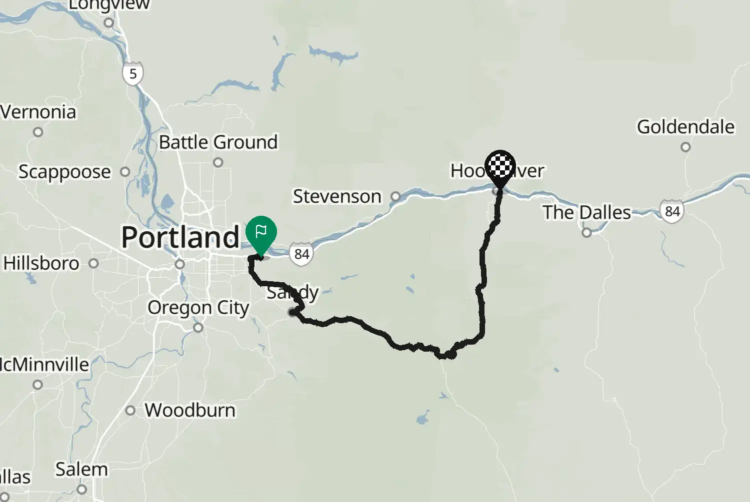
Oregon
Low 148 km92 mi
The old Columbia River Highway from Troutdale up to Crown Point and along the waterfalls of the Columbia River Gorge, including Multnomah Falls. In the middle of the gorge the old road is now a trail closed to motor traffic, so this route takes I-84 to Hood River and Mosier, then the old road again over Rowena Crest with its loops down to The Dalles. The western part is narrow, with stone walls and parked cars at the falls: take it slowly. Very busy on summer weekends.
Check road conditions, closures and opening dates before you ride.
Route line: U.S. Department of Transportation, Federal Highway Administration (FHWA), America's Byways® layer, byway 144_OR, layer version of 4 August 2026, public domain: https://www.arcgis.com/home/item.html?id=8bda53a21f8b4c7ca2fc76523ba2110a. Modified by Motarva: snapped to roads, a gap filled by routing. This is not an official route file from the FHWA.
Source Federal Highway Administration (FHWA), America's Byways America's Byways® layer FHWA_ScenicByways_08042026 (), byway 144_OR. Changes: snapped to roads, a gap filled by routing.
Measured from the route itself, with roundabouts and slip roads left out. Corners are counted, not judged.