
Arizona
Low 70 km44 mi
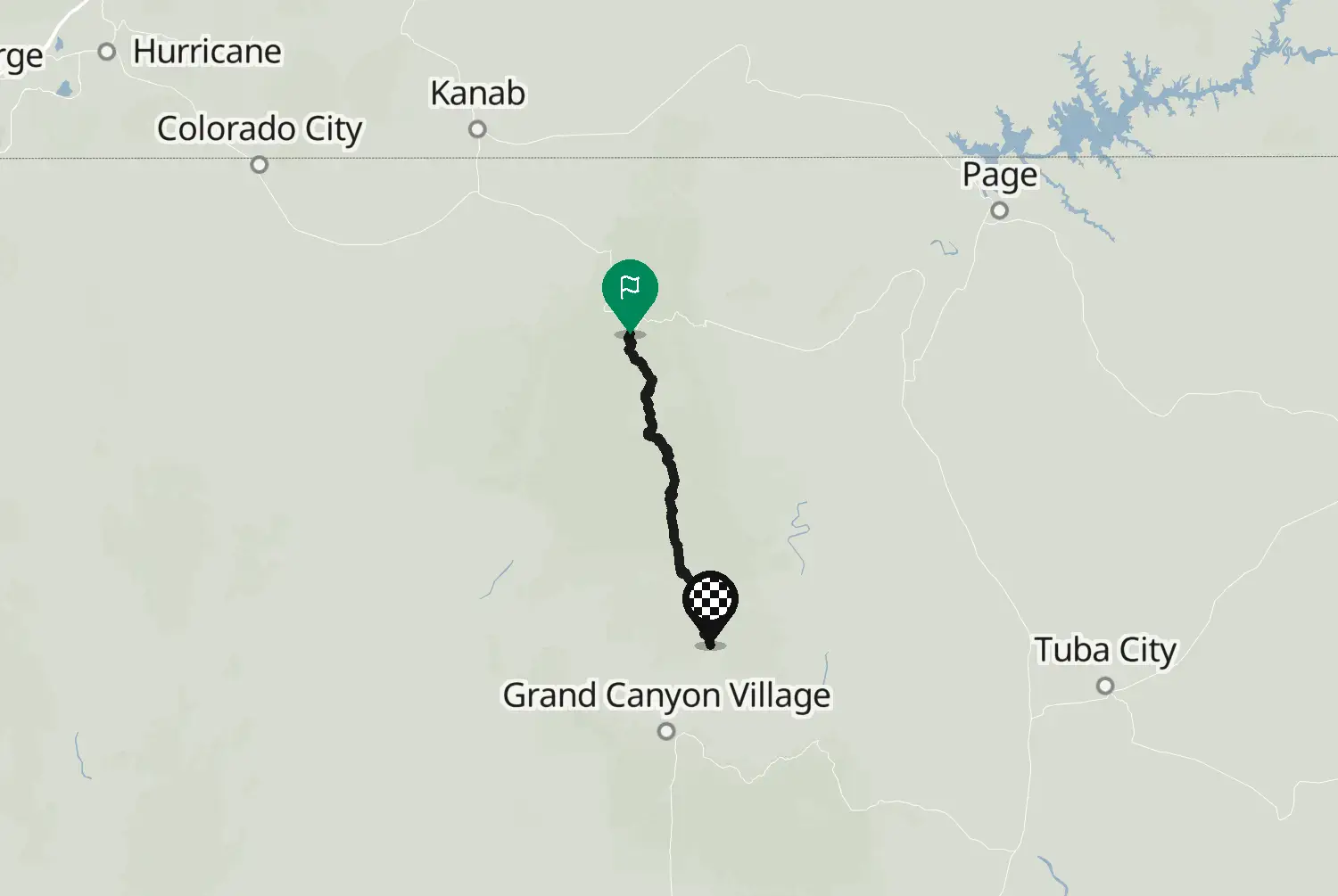
US-191 from just north of the Morenci copper mine up onto the Mogollon Rim and through Alpine to Springerville. The byway officially starts in Clifton; the stretch through the mine area is left out here. Hundreds of curves and very little traffic, climbing from the desert edge to pine forest at about 2,800 m near Hannagan Meadow. There is no fuel between Morenci and Alpine, roughly 145 km. Snow can close the high part in winter.
Check road conditions, closures and opening dates before you ride.
Route line: U.S. Department of Transportation, Federal Highway Administration (FHWA), America's Byways® layer, byway 10_AZ, layer version of 4 August 2026, public domain: https://www.arcgis.com/home/item.html?id=8bda53a21f8b4c7ca2fc76523ba2110a. Modified by Motarva: snapped to roads. This is not an official route file from the FHWA.
Source Federal Highway Administration (FHWA), America's Byways America's Byways® layer FHWA_ScenicByways_08042026 (), byway 10_AZ. Changes: snapped to roads.
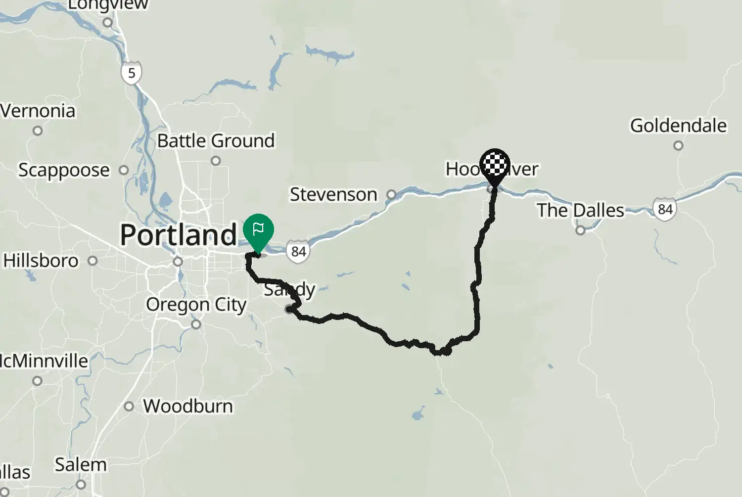
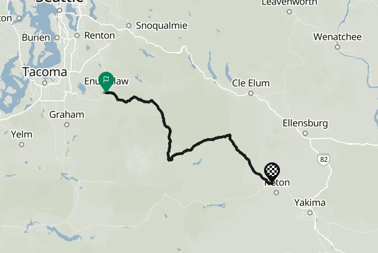
Measured from the route itself, with roundabouts and slip roads left out. Corners are counted, not judged.