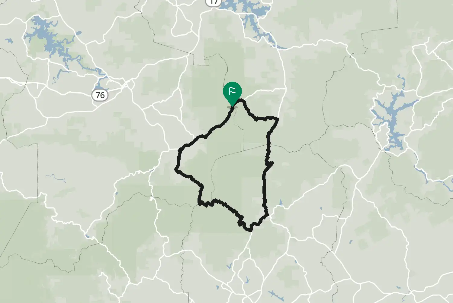
Cherokee Foothills Scenic Highway: Lake Hartwell – Gaffney
United States · South Carolina
Distance189118kmmi
Elevation2,1717,120mft
Duration3h 49m
Route typePoint to point
CurvinessLow
Along this route
0 km0 miSouth Carolina, United StatesStart
189 km118 miGaffneyFinish
About this route
Highway 11 along the foot of the Blue Ridge in upstate South Carolina, from near Lake Hartwell past Lake Keowee, Table Rock and the turn for Caesars Head to Gaffney. Gentle curves through orchards, farmland and small towns, with the mountains on your left. A good link to the twistier roads up the escarpment, such as US-276 over Caesars Head.
Check road conditions, closures and opening dates before you ride.
Route line: U.S. Department of Transportation, Federal Highway Administration (FHWA), America's Byways® layer, byway 153_SC, layer version of 4 August 2026, public domain: https://www.arcgis.com/home/item.html?id=8bda53a21f8b4c7ca2fc76523ba2110a. Modified by Motarva: snapped to roads. This is not an official route file from the FHWA.
We use cookies to keep your ride smooth, remember your preferences, and figure out which roads get the most traffic.
Functional
Always active
The technical storage or access is strictly necessary for the legitimate purpose of enabling the use of a specific service explicitly requested by the subscriber or user, or for the sole purpose of carrying out the transmission of a communication over an electronic communications network.
Preferences
The technical storage or access is necessary for the legitimate purpose of storing preferences that are not requested by the subscriber or user.
Statistics
The technical storage or access that is used exclusively for statistical purposes.The technical storage or access that is used exclusively for anonymous statistical purposes. Without a subpoena, voluntary compliance on the part of your Internet Service Provider, or additional records from a third party, information stored or retrieved for this purpose alone cannot usually be used to identify you.
Marketing
The technical storage or access is required to create user profiles to send advertising, or to track the user on a website or across several websites for similar marketing purposes.