
Virginia
Medium 77 km48 mi
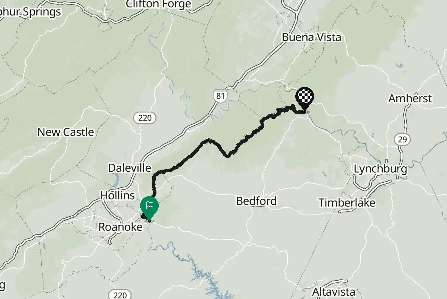
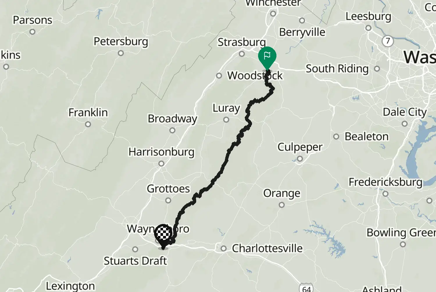
The northern end of the Parkway, from the James River, its lowest point, back up onto the crest and north past Humpback Rocks to Rockfish Gap near Waynesboro, where Skyline Drive takes over. Speed limit 45 mph at most, no trucks, and no fuel on the Parkway itself: plan your stops in the towns just off it. Sections close in winter and in bad weather.
Check road conditions, closures and opening dates before you ride.
Route line: U.S. Department of Transportation, Federal Highway Administration (FHWA), America's Byways® layer, byway 129_NC/129_VA, layer version of 4 August 2026, public domain: https://www.arcgis.com/home/item.html?id=8bda53a21f8b4c7ca2fc76523ba2110a. Modified by Motarva: snapped to roads, split into stages, a gap filled by routing. This is not an official route file from the FHWA.
Source Federal Highway Administration (FHWA), America's Byways America's Byways® layer FHWA_ScenicByways_08042026 (), byway 129_NC/129_VA. Changes: snapped to roads, split into stages, a gap filled by routing.
Measured from the route itself, with roundabouts and slip roads left out. Corners are counted, not judged.