
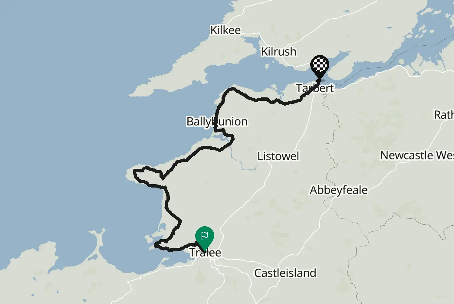
County Kerry
Medium 100 km62 mi
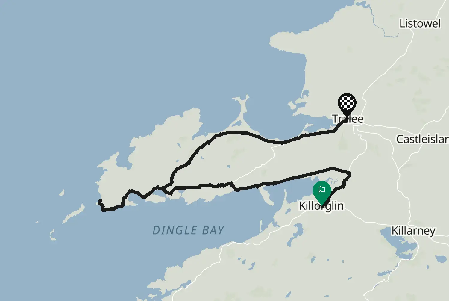
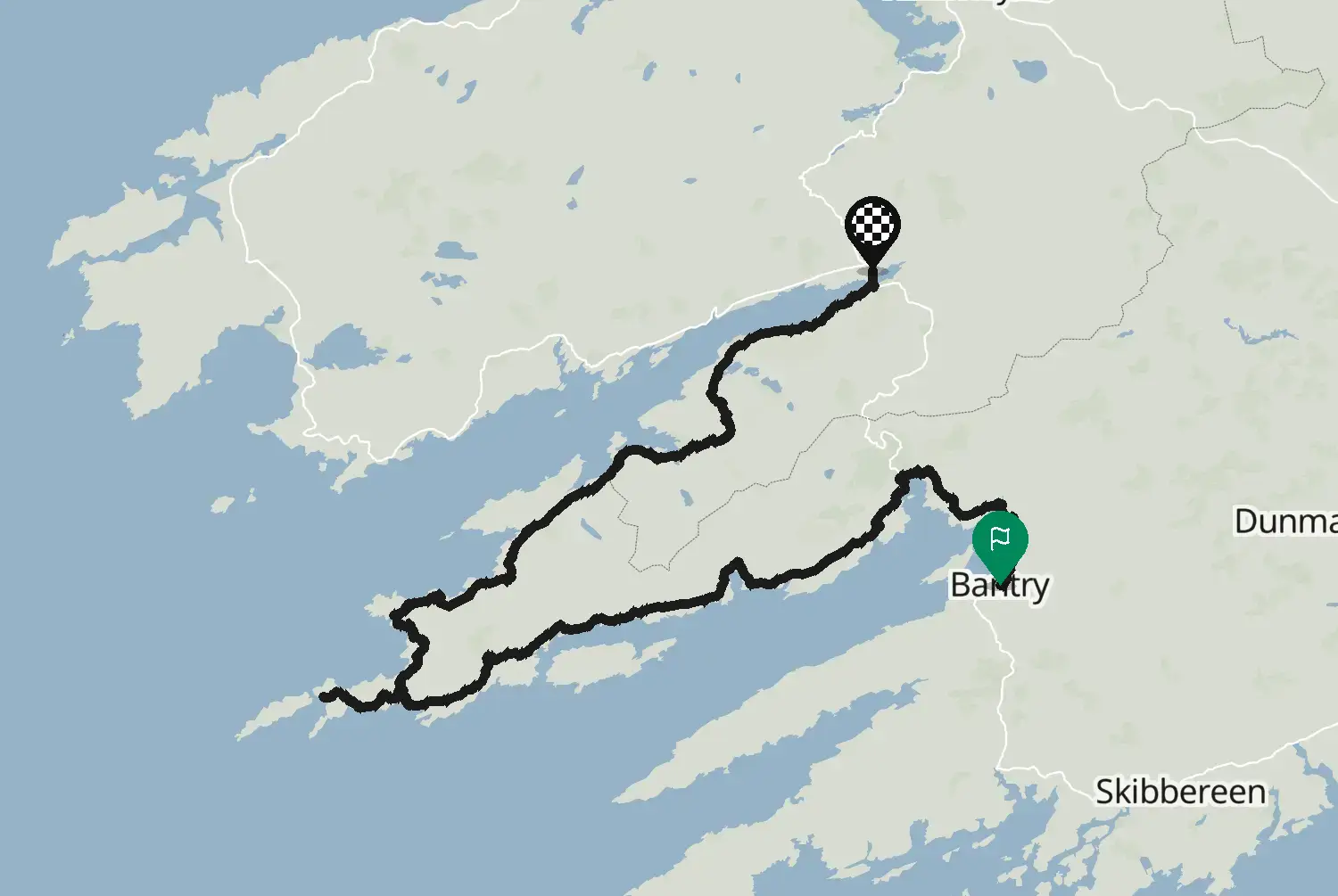
Around the Iveragh Peninsula, the Ring of Kerry, from Kenmare past Sneem, Caherdaniel, Waterville and Cahersiveen to Killorglin. Tour coaches drive the ring anticlockwise, from Killorglin toward Kenmare, so on this stage you meet them head on: be ready to stop on the narrow parts. Early or late in the day is quieter. This is one of 15 stages along the coastal route known as the Wild Atlantic Way, from Kinsale in County Cork to Muff in County Donegal. The side roads to headlands and viewpoints are left out, so you can add the ones you like. Ireland drives on the left and signs speeds in km/h. Many coast roads are narrow with stone walls right at the edge, so expect to pull in for tractors, coaches and campervans, and watch for sheep and gravel washed onto the road after rain. Best from May to September; book beds ahead in July and August.
Check road conditions and closures before you ride.
Route line: Fáilte Ireland, Wild Atlantic Way Route, published on data.gov.ie, licensed under CC BY 4.0 (https://creativecommons.org/licenses/by/4.0/): https://data.gov.ie/dataset/wild-atlantic-way-route1. Modified by Motarva: snapped to roads, side roads to headlands and viewpoints left out, split into stages, gaps filled by routing. This is not an official route file and is not endorsed by Fáilte Ireland; Wild Atlantic Way is a name of Fáilte Ireland, used here only to describe the route.
Source Fáilte Ireland, Wild Atlantic Way Route (data.gov.ie) Wild Atlantic Way Route (data.gov.ie, Fáilte Ireland data, 2020), stage 4 of 15. Changes: snapped to roads, side roads to headlands and viewpoints left out, split into stages, gaps filled by routing.
Measured from the route itself, with roundabouts and slip roads left out. Corners are counted, not judged.