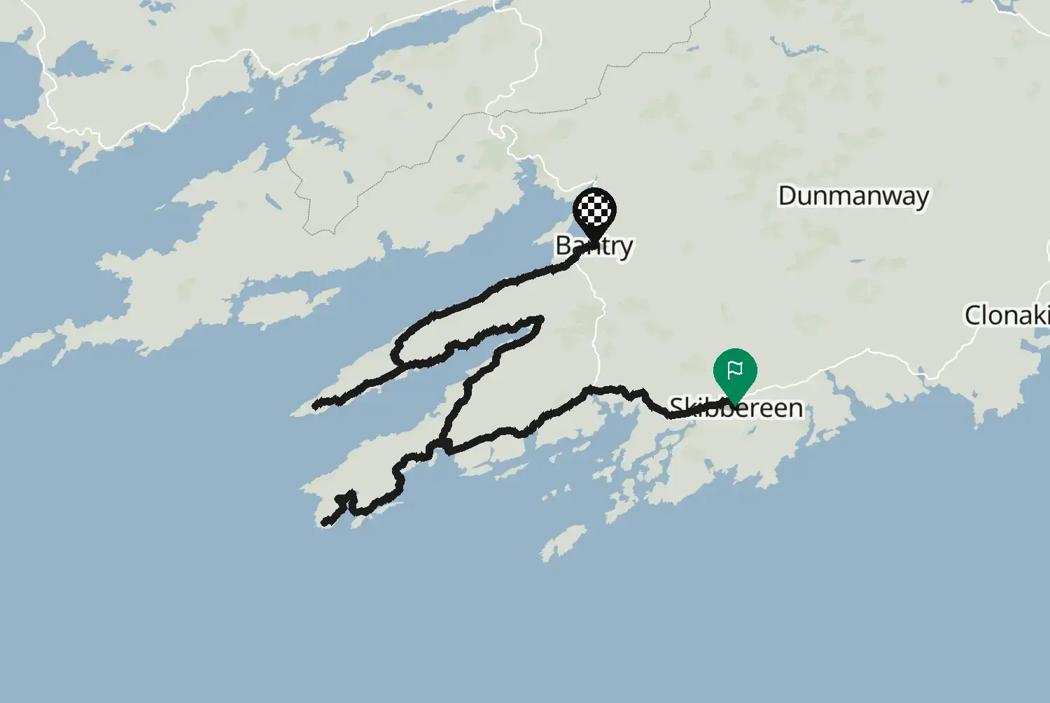
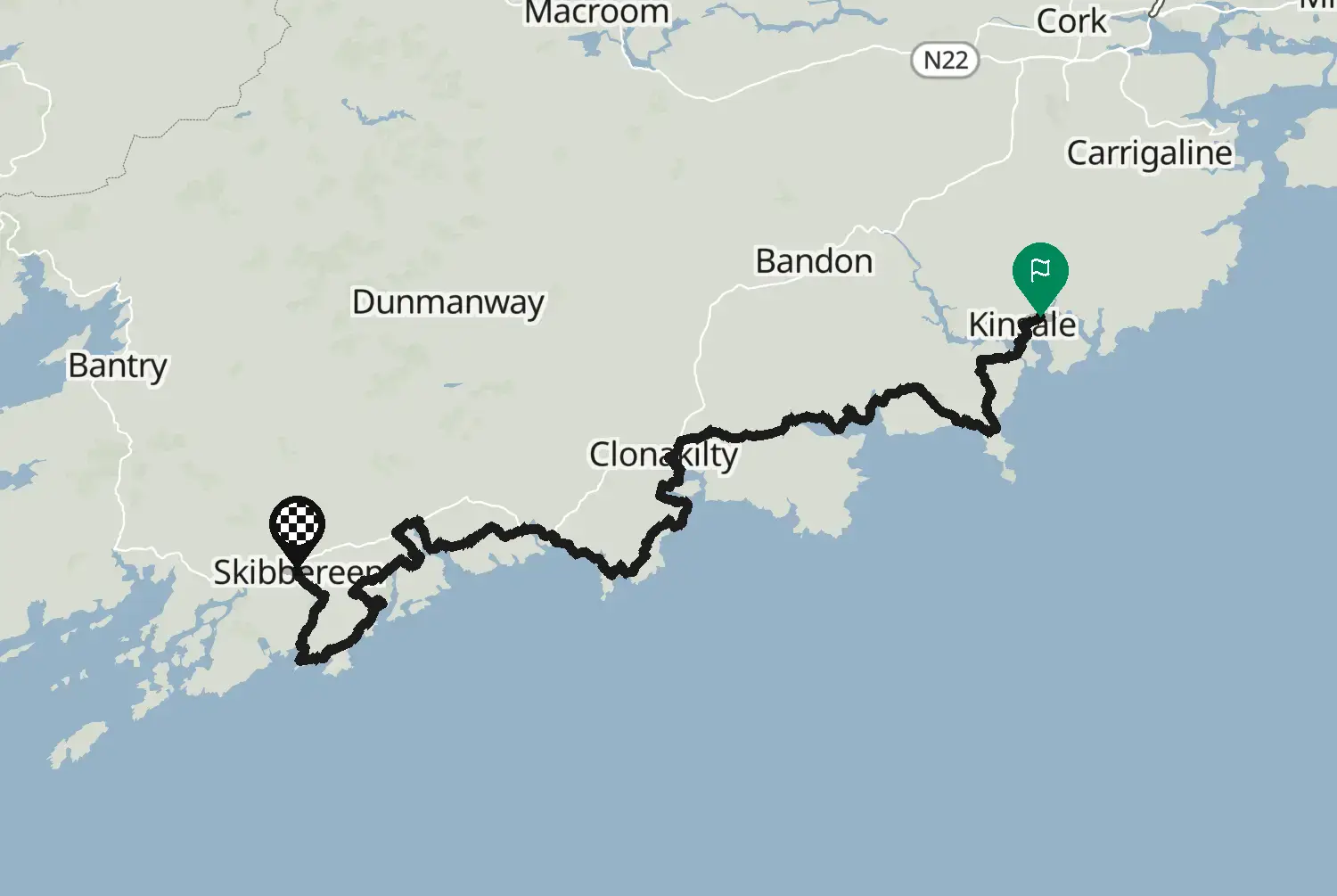
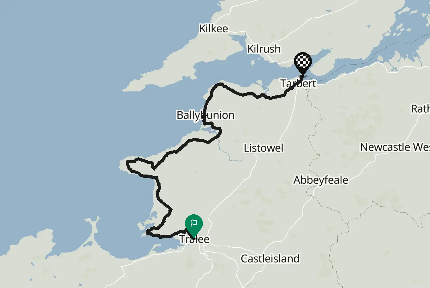
Wild Atlantic Way, stage 3 of 15: Bantry to Kenmare around the Beara Peninsula
Ireland · County Cork
Distance14288.2kmmi
Elevation1,7115,610mft
Duration2h 52m
Route typePoint to point
CurvinessHigh
Along this route
0 km0 miCounty Cork, IrelandStart
142 km88 miKenmare Municipal DistrictFinish
About this route
From Bantry past Glengarriff and around the Beara Peninsula through Castletownbere, Allihies and Eyeries to Kenmare. Rugged, quiet and often narrow, with climbs over rocky headlands and big views over the Atlantic. Fuel up in Bantry, Glengarriff or Castletownbere. This is one of 15 stages along the coastal route known as the Wild Atlantic Way, from Kinsale in County Cork to Muff in County Donegal. The side roads to headlands and viewpoints are left out, so you can add the ones you like. Ireland drives on the left and signs speeds in km/h. Many coast roads are narrow with stone walls right at the edge, so expect to pull in for tractors, coaches and campervans, and watch for sheep and gravel washed onto the road after rain. Best from May to September; book beds ahead in July and August.
Check road conditions and closures before you ride.
Route line: Fáilte Ireland, Wild Atlantic Way Route, published on data.gov.ie, licensed under CC BY 4.0 (https://creativecommons.org/licenses/by/4.0/): https://data.gov.ie/dataset/wild-atlantic-way-route1. Modified by Motarva: snapped to roads, side roads to headlands and viewpoints left out, split into stages. This is not an official route file and is not endorsed by Fáilte Ireland; Wild Atlantic Way is a name of Fáilte Ireland, used here only to describe the route.
SourceFáilte Ireland, Wild Atlantic Way Route (data.gov.ie)Wild Atlantic Way Route (data.gov.ie, Fáilte Ireland data, 2020), stage 3 of 15. Changes: snapped to roads, side roads to headlands and viewpoints left out, split into stages.
Licence: CC BY 4.0· Modified by Motarva. Not an official publication of the source.
We use cookies to keep your ride smooth, remember your preferences, and figure out which roads get the most traffic.
Functional
Always active
The technical storage or access is strictly necessary for the legitimate purpose of enabling the use of a specific service explicitly requested by the subscriber or user, or for the sole purpose of carrying out the transmission of a communication over an electronic communications network.
Preferences
The technical storage or access is necessary for the legitimate purpose of storing preferences that are not requested by the subscriber or user.
Statistics
The technical storage or access that is used exclusively for statistical purposes.The technical storage or access that is used exclusively for anonymous statistical purposes. Without a subpoena, voluntary compliance on the part of your Internet Service Provider, or additional records from a third party, information stored or retrieved for this purpose alone cannot usually be used to identify you.
Marketing
The technical storage or access is required to create user profiles to send advertising, or to track the user on a website or across several websites for similar marketing purposes.