
Skip to content

Wild Atlantic Way, stage 6 of 15: Tralee to Tarbert

Ireland · County Kerry
Distance 10062.2kmmi
Elevation 6492,130mft
Duration 1h 55m
Route type Point to point
Curviness Medium

Along this route

0 km0 miCounty Kerry, IrelandStart
100 km62 miListowel Municipal DistrictFinish

About this route

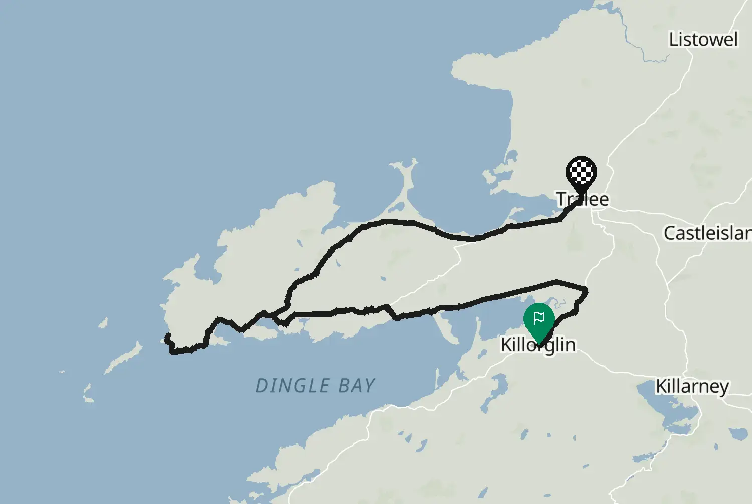
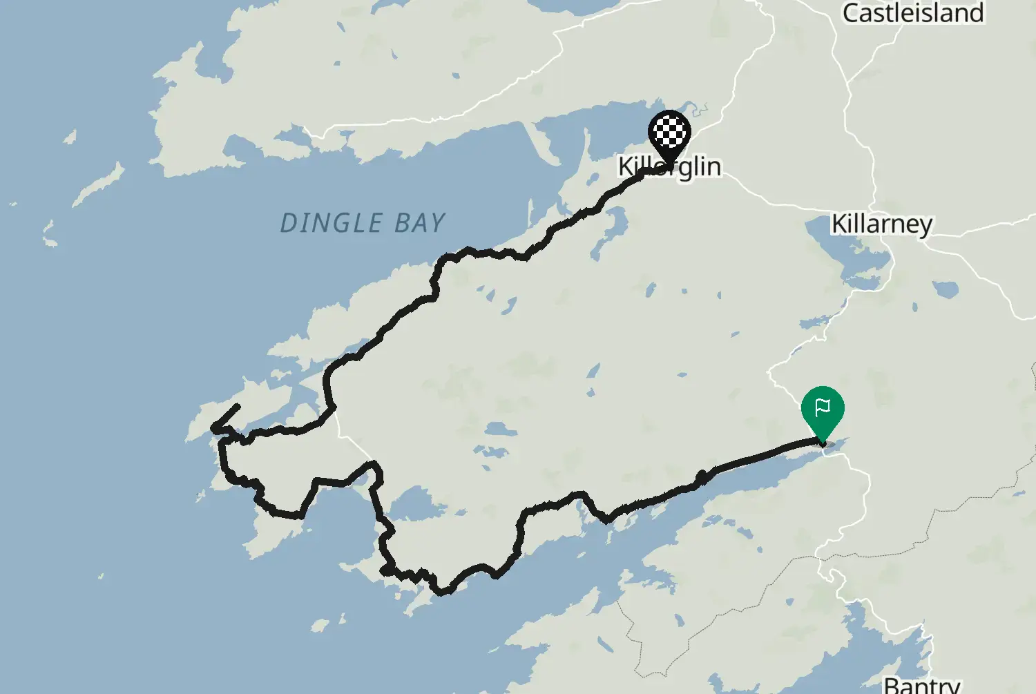
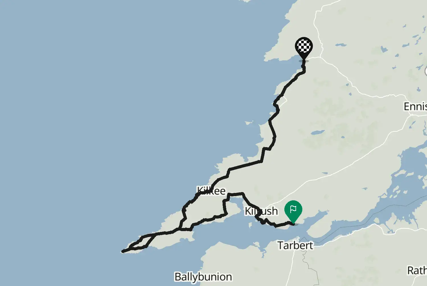
From Tralee north along the North Kerry coast past Ballyheigue and Ballybunion to Tarbert on the Shannon estuary. Gentler country than the peninsulas, with long beaches and open farmland. The next stage starts across the river in Killimer: the Shannon Ferry crosses between Tarbert and Killimer in about 20 minutes (check the timetable). This is one of 15 stages along the coastal route known as the Wild Atlantic Way, from Kinsale in County Cork to Muff in County Donegal. The side roads to headlands and viewpoints are left out, so you can add the ones you like. Ireland drives on the left and signs speeds in km/h. Many coast roads are narrow with stone walls right at the edge, so expect to pull in for tractors, coaches and campervans, and watch for sheep and gravel washed onto the road after rain. Best from May to September; book beds ahead in July and August.

Check road conditions and closures before you ride.

Route line: Fáilte Ireland, Wild Atlantic Way Route, published on data.gov.ie, licensed under CC BY 4.0 (https://creativecommons.org/licenses/by/4.0/): https://data.gov.ie/dataset/wild-atlantic-way-route1. Modified by Motarva: snapped to roads, side roads to headlands and viewpoints left out, split into stages, gaps filled by routing. This is not an official route file and is not endorsed by Fáilte Ireland; Wild Atlantic Way is a name of Fáilte Ireland, used here only to describe the route.

Source Fáilte Ireland, Wild Atlantic Way Route (data.gov.ie) Wild Atlantic Way Route (data.gov.ie, Fáilte Ireland data, 2020), stage 6 of 15. Changes: snapped to roads, side roads to headlands and viewpoints left out, split into stages, gaps filled by routing.
Licence: CC BY 4.0 Modified by Motarva. Not an official publication of the source.

1 downloads
13 views
0 ridden
0 saves
103°/km Medium
100200LowMediumHigh0300+MotorwayMoselArdennes103°/km
020406080100020406012 mkm 1.3Low 4340 ftmi 0.8Low 4318 mkm 2.5High 43260 ftmi 1.6High 4325 mkm 3.8High 43220 ftmi 2.3High 4326 mkm 5.4Low 6020 ftmi 3.4Low 6016 mkm 6.7Low 3350 ftmi 4.2Low 3315 mkm 8.4Medium 14650 ftmi 5.2Medium 1467 mkm 11.3Low 7320 ftmi 7Low 7317 mkm 12.1High 21760 ftmi 7.5High 21720 mkm 13.4High 21770 ftmi 8.3High 21746 mkm 15.5High 210150 ftmi 9.6High 21025 mkm 18Low 8680 ftmi 11.2Low 8627 mkm 19.3Low 8690 ftmi 12Low 8620 mkm 20.5High 24070 ftmi 12.8High 2407 mkm 22.2Low 2320 ftmi 13.8Low 233 mkm 23.9Low 2310 ftmi 14.8Low 239 mkm 25.1Medium 10330 ftmi 15.6Medium 1030 mkm 27.6Low 420 ftmi 17.2Low 4213 mkm 29.7Medium 13440 ftmi 18.5Medium 1346 mkm 30.6Medium 12620 ftmi 19Medium 12619 mkm 31.8Medium 12660 ftmi 19.8Medium 12651 mkm 33.5Low 93170 ftmi 20.8Low 93143 mkm 36.4Low 88470 ftmi 22.6Low 88138 mkm 36.9Low 88450 ftmi 22.9Low 88122 mkm 38.5Low 85400 ftmi 23.9Low 8566 mkm 41.5Low 67220 ftmi 25.8Low 6779 mkm 42.3Low 57260 ftmi 26.3Low 5780 mkm 43.6Low 57260 ftmi 27.1Low 5759 mkm 45.2Medium 143190 ftmi 28.1Medium 14366 mkm 48.2Low 100220 ftmi 29.9Low 10063 mkm 48.6Low 100210 ftmi 30.2Low 10066 mkm 51.1Low 38220 ftmi 31.7Low 3838 mkm 52.3Low 32120 ftmi 32.5Low 3266 mkm 53.6Low 32220 ftmi 33.3Low 3271 mkm 56.1Low 12230 ftmi 34.9Low 1251 mkm 58.2Low 34170 ftmi 36.2Low 3420 mkm 59.9Low 3470 ftmi 37.2Low 34-1 mkm 61.1Low 180 ftmi 38Low 184 mkm 62Low 1810 ftmi 38.5Low 184 mkm 64.1Medium 14610 ftmi 39.8Medium 14610 mkm 66.6Low 9530 ftmi 41.4Low 9512 mkm 67Low 9540 ftmi 41.6Low 9517 mkm 68.7High 43760 ftmi 42.7High 43719 mkm 70.4High 24560 ftmi 43.7High 24566 mkm 72Low 91220 ftmi 44.8Low 9160 mkm 75Low 65200 ftmi 46.6Low 6542 mkm 75.4Low 65140 ftmi 46.8Low 6558 mkm 77.1Medium 105190 ftmi 47.9Medium 10563 mkm 80Low 74210 ftmi 49.7Low 7461 mkm 81.7Low 27200 ftmi 50.7Low 2756 mkm 82.1Low 36180 ftmi 51Low 3638 mkm 84.2Low 30120 ftmi 52.3Low 3039 mkm 86.7Low 79130 ftmi 53.9Low 7933 mkm 87.1Low 79110 ftmi 54.1Low 7914 mkm 88.8High 20850 ftmi 55.2High 20821 mkm 90.5Low 4070 ftmi 56.2Low 4047 mkm 92.1Low 37150 ftmi 57.2Low 3752 mkm 95.1Low 91170 ftmi 59.1Low 9138 mkm 95.5Low 91120 ftmi 59.3Low 9115 mkm 97.2Medium 19750 ftmi 60.4Medium 1971 mkm 99.7High 2140 ftmi 61.9High 214

5 twisty stretches. The three longest: km 2 to 4, km 12 to 22 and km 68 to 72.5 twisty stretches. The three longest: mi 1 to 2, mi 7 to 14 and mi 42 to 45.

16.8 of 100 km in corners10.4 of 62.2 miles in corners17%

Measured from the route itself, with roundabouts and slip roads left out. Corners are counted, not judged.

Sign in to add your own photos of this route.
Free with a Motarva account.
No photos yet. Be the first to add one.
Sign in to leave a review of this route.
Free with a Motarva account.
Sign in to see the weather along this route.
Free with a Motarva account.