Skip to content

Newfound Gap Road: Cherokee – Gatlinburg

Loop from Cherokee · United States · North Carolina
Distance 51.031.7kmmi
Elevation 1,0613,480mft
Duration 1h 7m
Route type Point to point
Curviness Medium

Along this route

0 km0 miCherokeeStart
51 km32 miNorth Carolina, United StatesFinish

About this route

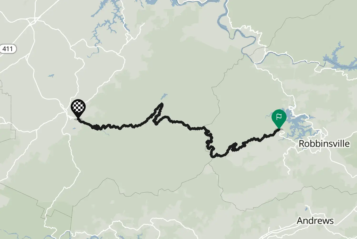
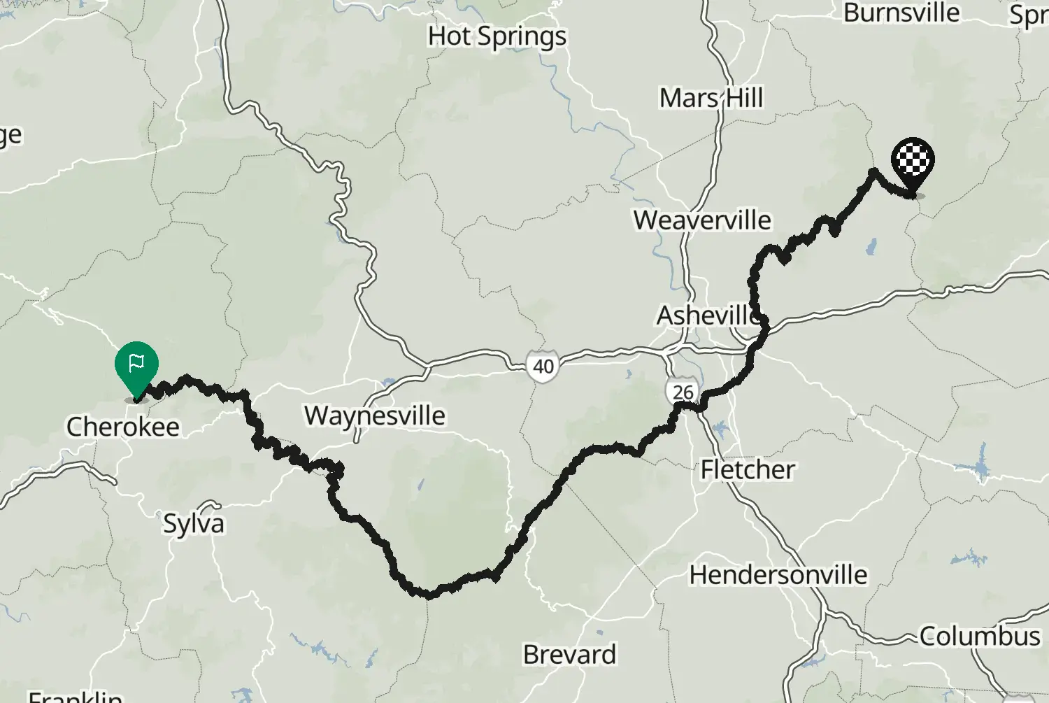
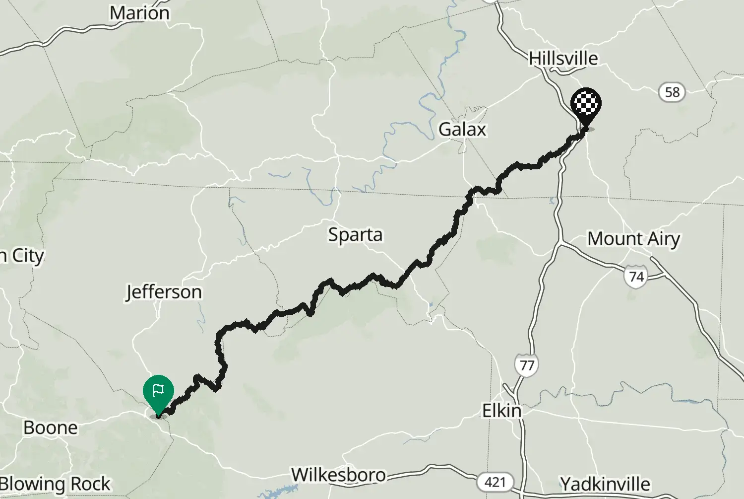
US-441 straight through Great Smoky Mountains National Park, from Cherokee, North Carolina, up to Newfound Gap at about 1,540 m on the state line and down to Gatlinburg, Tennessee. Steady climbs, a loop-over bridge on the Tennessee side and forest all the way. Entrance is free, but parking for more than 15 minutes needs a park parking tag. Busy in summer and in autumn colours, and snow or ice can close it in winter.

Check road conditions, closures and opening dates before you ride.

Route line: U.S. Department of Transportation, Federal Highway Administration (FHWA), America's Byways® layer, byway 132_NC/132_TN, layer version of 4 August 2026, public domain: https://www.arcgis.com/home/item.html?id=8bda53a21f8b4c7ca2fc76523ba2110a. Modified by Motarva: through-path routed along the byway line, side spurs left out. This is not an official route file from the FHWA.

Source Federal Highway Administration (FHWA), America's Byways America's Byways® layer FHWA_ScenicByways_08042026 (), byway 132_NC/132_TN. Changes: through-path routed along the byway line, side spurs left out.

Licence: Public domain (US federal government work) Modified by Motarva. Not an official publication of the source.

0 downloads
12 views
0 ridden
0 saves
195°/km Medium
100200LowMediumHigh0300+MotorwayMoselArdennes195°/km
010203040500102030610 mkm 0.6Medium 1302,000 ftmi 0.4Medium 130620 mkm 1.5Low 772,030 ftmi 0.9Low 77621 mkm 1.9Low 772,040 ftmi 1.2Low 77630 mkm 3.2Low 142,070 ftmi 2Low 14632 mkm 3.4Low 142,070 ftmi 2.1Low 14644 mkm 4.9Medium 1442,110 ftmi 3Medium 144645 mkm 5.1Medium 1752,120 ftmi 3.2Medium 175654 mkm 6Medium 1752,150 ftmi 3.7Medium 175672 mkm 7.5Low 602,200 ftmi 4.6Low 60686 mkm 8.3Low 212,250 ftmi 5.2Low 21691 mkm 8.5Low 212,270 ftmi 5.3Low 21710 mkm 9.4Medium 1852,330 ftmi 5.8Medium 185749 mkm 10.9Low 572,460 ftmi 6.8Low 57758 mkm 11.1Medium 1682,490 ftmi 6.9Medium 168783 mkm 11.9Medium 1682,570 ftmi 7.4Medium 168844 mkm 13.4Low 142,770 ftmi 8.4Low 14856 mkm 13.7Low 142,810 ftmi 8.5Low 14921 mkm 14.5Low 513,020 ftmi 9Low 511,020 mkm 16Medium 1443,350 ftmi 9.9Medium 1441,083 mkm 16.9Low 843,550 ftmi 10.5Low 841,097 mkm 17.1Medium 1443,600 ftmi 10.6Medium 1441,159 mkm 17.9Medium 1443,800 ftmi 11.1Medium 1441,250 mkm 19.4Medium 1874,100 ftmi 12.1Medium 1871,316 mkm 20.3High 2704,320 ftmi 12.6High 2701,329 mkm 20.5High 2704,360 ftmi 12.7High 2701,391 mkm 21.3High 2084,560 ftmi 13.3High 2081,453 mkm 22.8Medium 1964,770 ftmi 14.2Medium 1961,455 mkm 23.7Low 724,770 ftmi 14.7Low 721,454 mkm 24.5Medium 1524,770 ftmi 15.2Medium 1521,444 mkm 24.7Medium 1524,740 ftmi 15.4Medium 1521,485 mkm 25.8Medium 1104,870 ftmi 16Medium 1101,537 mkm 26.9High 2765,040 ftmi 16.7High 2761,516 mkm 27.9High 1,2944,970 ftmi 17.4High 1,2941,459 mkm 28.8High 5444,790 ftmi 17.9High 5441,418 mkm 29.6High 5234,650 ftmi 18.4High 5231,397 mkm 29.9High 5234,580 ftmi 18.6High 5231,323 mkm 31.4High 2804,340 ftmi 19.5High 2801,310 mkm 31.6High 2804,300 ftmi 19.6High 2801,240 mkm 33.1High 2074,070 ftmi 20.5High 2071,202 mkm 33.9High 2073,940 ftmi 21.1High 2071,191 mkm 34.1Medium 1323,910 ftmi 21.2Medium 1321,153 mkm 35Medium 1323,780 ftmi 21.7Medium 1321,087 mkm 36.5High 7593,570 ftmi 22.7High 7591,079 mkm 36.7High 7593,540 ftmi 22.8High 7591,018 mkm 37.5High 2013,340 ftmi 23.3High 201959 mkm 38.4High 2103,150 ftmi 23.9High 210875 mkm 39.9Medium 1812,870 ftmi 24.8Medium 181860 mkm 40.1High 5172,820 ftmi 24.9High 517809 mkm 41.6Medium 1812,650 ftmi 25.8Medium 181791 mkm 41.8Medium 1812,600 ftmi 26Medium 181746 mkm 42.7Medium 1422,450 ftmi 26.5Medium 142687 mkm 43.5Low 942,250 ftmi 27Low 94604 mkm 45Medium 1061,980 ftmi 28Medium 106585 mkm 45.2Medium 1061,920 ftmi 28.1Medium 106532 mkm 46.1Medium 1391,750 ftmi 28.6Medium 139465 mkm 47.6Low 711,530 ftmi 29.6Low 71447 mkm 48.4Low 931,470 ftmi 30.1Low 93427 mkm 49.3Low 441,400 ftmi 30.6Low 44426 mkm 49.5Low 441,400 ftmi 30.7Low 44408 mkm 51Low 521,340 ftmi 31.7Low 52

Three twisty stretches: km 18 to 22, km 26 to 34 and km 36 to 41.Three twisty stretches: mi 11 to 14, mi 16 to 21 and mi 22 to 25.

20.5 of 51 km in corners12.8 of 31.7 miles in corners40%

Measured from the route itself, with roundabouts and slip roads left out. Corners are counted, not judged.

Sign in to add your own photos of this route.
Free with a Motarva account.
No photos yet. Be the first to add one.
Sign in to leave a review of this route.
Free with a Motarva account.
Sign in to see the weather along this route.
Free with a Motarva account.