Skip to content

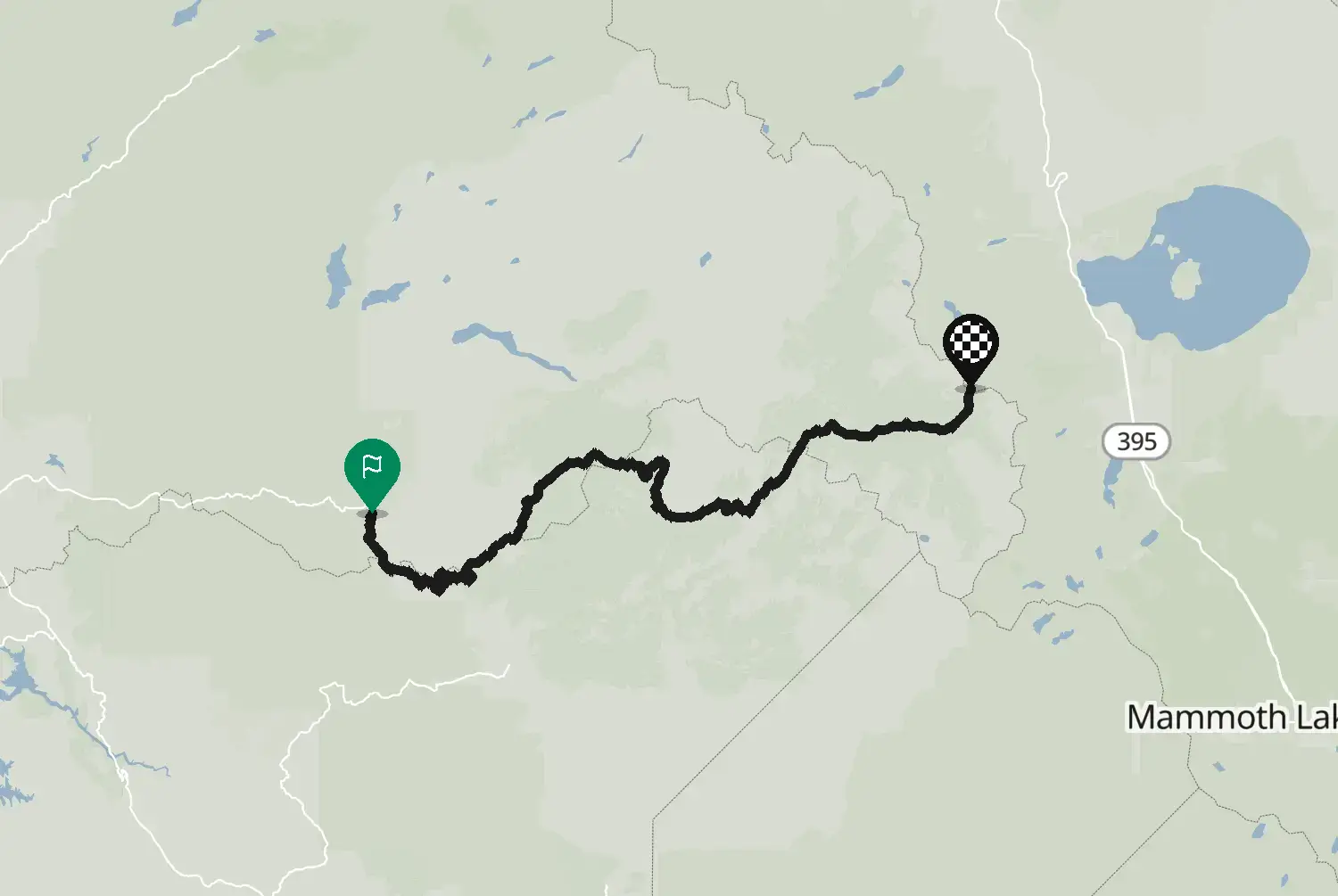
Ebbetts Pass: Arnold – Markleeville

Motorcycle route from Arnold to Markleeville · United States · California
Distance 98.060.9kmmi
Elevation 2,3127,590mft
Duration 2h 10m
Route type Point to point
Curviness Medium

Along this route

0 km0 miArnoldStart
98 km61 miMarkleevilleFinish

About this route

Highway 4 from Arnold up through the Stanislaus National Forest, past Lake Alpine and over Ebbetts Pass at about 2,660 m, down to Highway 89 near Markleeville. The upper part is narrow, very steep in places and has stretches without a centre line, with tight, blind corners. Not for big rigs, and quiet on weekdays. Closed in winter, usually from November to May.

Check road conditions, closures and opening dates before you ride.

Route line: U.S. Department of Transportation, Federal Highway Administration (FHWA), America's Byways® layer, byway 22_CA, layer version of 4 August 2026, public domain: https://www.arcgis.com/home/item.html?id=8bda53a21f8b4c7ca2fc76523ba2110a. Modified by Motarva: snapped to roads. This is not an official route file from the FHWA.

Source Federal Highway Administration (FHWA), America's Byways America's Byways® layer FHWA_ScenicByways_08042026 (), byway 22_CA. Changes: snapped to roads.

Licence: Public domain (US federal government work) Modified by Motarva. Not an official publication of the source.

0 downloads
12 views
0 ridden
0 saves
178°/km Medium
100200LowMediumHigh0300+MotorwayMoselArdennes178°/km
02040608002040601,223 mkm 0Low 514,010 ftmi 0Low 511,350 mkm 2.9High 3084,430 ftmi 1.8High 3081,420 mkm 4.5Medium 1314,660 ftmi 2.8Medium 1311,516 mkm 6.1Medium 1014,970 ftmi 3.8Medium 1011,524 mkm 6.6Medium 1015,000 ftmi 4.1Medium 1011,493 mkm 8.2Medium 1154,900 ftmi 5.1Medium 1151,503 mkm 11.1Low 714,930 ftmi 6.9Low 711,571 mkm 12.7Low 675,150 ftmi 7.9Low 671,604 mkm 14.3Low 145,260 ftmi 8.9Low 141,655 mkm 15.6Low 145,430 ftmi 9.7Low 141,652 mkm 16.4Medium 1015,420 ftmi 10.2Medium 1011,799 mkm 19.3Medium 1165,900 ftmi 12Medium 1161,824 mkm 19.7Medium 1165,980 ftmi 12.2Medium 1161,918 mkm 21.3Medium 1316,290 ftmi 13.2Medium 1311,960 mkm 23Medium 1796,430 ftmi 14.3Medium 1792,044 mkm 25.8Medium 1376,710 ftmi 16Medium 1372,040 mkm 26.2Low 626,690 ftmi 16.3Low 622,055 mkm 27.9Low 626,740 ftmi 17.3Low 622,048 mkm 29.5Medium 1516,720 ftmi 18.3Medium 1512,006 mkm 31.2Low 796,580 ftmi 19.4Low 792,002 mkm 32.8Low 376,570 ftmi 20.4Low 372,097 mkm 35.7Low 826,880 ftmi 22.2Low 822,132 mkm 36.9Low 886,990 ftmi 22.9Low 882,171 mkm 38.9Low 527,120 ftmi 24.2Low 522,169 mkm 39.4Low 527,120 ftmi 24.5Low 522,193 mkm 42.2Low 707,190 ftmi 26.2Low 702,305 mkm 43.9Low 707,560 ftmi 27.3Low 702,302 mkm 44.3Medium 1257,550 ftmi 27.5Medium 1252,279 mkm 47.1High 3467,480 ftmi 29.3High 3462,313 mkm 47.6High 3467,590 ftmi 29.5High 3462,437 mkm 50Medium 1808,000 ftmi 31.1Medium 1802,420 mkm 52.1Medium 1657,940 ftmi 32.3Medium 1652,431 mkm 53.7Medium 1657,980 ftmi 33.4Medium 1652,419 mkm 54.5Medium 1607,940 ftmi 33.9Medium 1602,408 mkm 57High 6497,900 ftmi 35.4High 6492,372 mkm 57.4High 6497,780 ftmi 35.7High 6492,234 mkm 59High 3767,330 ftmi 36.7High 3762,197 mkm 61.9Low 837,210 ftmi 38.5Low 832,225 mkm 62.3High 2137,300 ftmi 38.7High 2132,331 mkm 63.9High 2137,650 ftmi 39.7High 2132,506 mkm 66.8Medium 1208,220 ftmi 41.5Medium 1202,541 mkm 67.2Medium 1208,340 ftmi 41.8Medium 1202,668 mkm 68.9High 2258,750 ftmi 42.8High 2252,553 mkm 70.5High 2068,380 ftmi 43.8High 2062,449 mkm 72.1High 2968,030 ftmi 44.8High 2962,365 mkm 73.8High 2967,760 ftmi 45.8High 2962,235 mkm 75.4High 4977,330 ftmi 46.9High 4972,144 mkm 77.1High 5707,030 ftmi 47.9High 5702,033 mkm 78.7High 2946,670 ftmi 48.9High 2941,968 mkm 80.3Low 756,460 ftmi 49.9Low 751,932 mkm 82Low 756,340 ftmi 50.9Low 751,883 mkm 83.6High 2746,180 ftmi 52High 2741,790 mkm 86.5Medium 1885,870 ftmi 53.7Medium 1881,756 mkm 88.1High 2665,760 ftmi 54.8High 2661,741 mkm 89.8High 2665,710 ftmi 55.8High 2661,727 mkm 91Medium 1775,670 ftmi 56.5Medium 1771,734 mkm 91.8Medium 1775,690 ftmi 57.1Medium 1771,698 mkm 93.5Low 925,570 ftmi 58.1Low 921,678 mkm 95.5Medium 1425,510 ftmi 59.3Medium 1421,692 mkm 96.7High 2045,550 ftmi 60.1High 204
34.7 of 98 km in corners21.5 of 60.9 miles in corners35%

Measured from the route itself, with roundabouts and slip roads left out. Corners are counted, not judged.

Sign in to add your own photos of this route.
Free with a Motarva account.
No photos yet. Be the first to add one.
Sign in to leave a review of this route.
Free with a Motarva account.
Sign in to see the weather along this route.
Free with a Motarva account.