Skip to content

Big Sur Coast Highway: Carmel – Ragged Point

United States · California
Distance 11973.7kmmi
Elevation 2,6448,670mft
Duration 2h 35m
Route type Point to point
Curviness Medium

Along this route

0 km0 miCalifornia, United StatesStart
119 km74 miCalifornia, United StatesFinish

About this route

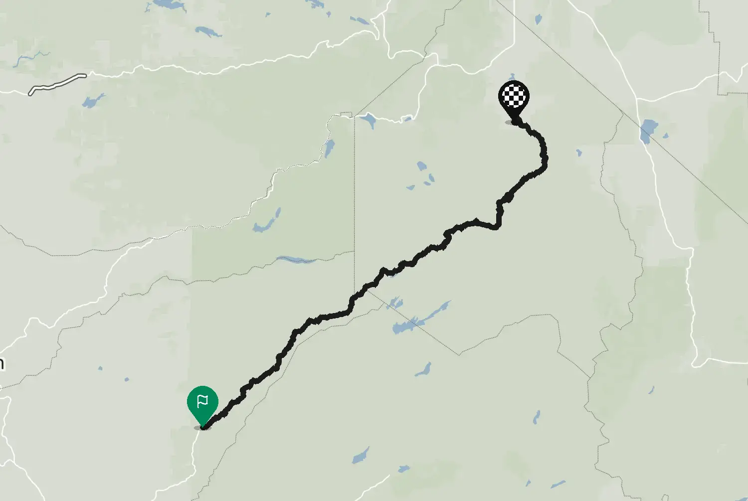
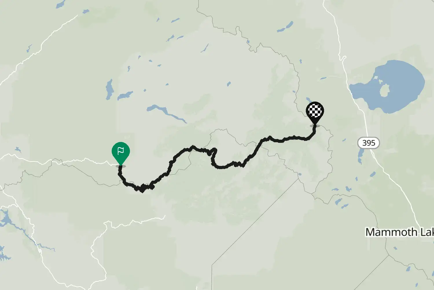
Highway 1 from Carmel south along the Big Sur coast to the San Luis Obispo county line near Ragged Point. Cliffs straight down into the Pacific, Bixby Bridge, redwood canyons and plenty of tight curves high above the water. Landslides close parts of this road now and then, sometimes for months, so check Caltrans before you go. Fuel is scarce and expensive along the coast: fill up in Carmel. Heavy traffic on summer weekends, and fog is common.

Check road conditions, closures and opening dates before you ride.

Route line: U.S. Department of Transportation, Federal Highway Administration (FHWA), America's Byways® layer, byway 19_CA, layer version of 4 August 2026, public domain: https://www.arcgis.com/home/item.html?id=8bda53a21f8b4c7ca2fc76523ba2110a. Modified by Motarva: snapped to roads, a gap filled by routing. This is not an official route file from the FHWA.

Source Federal Highway Administration (FHWA), America's Byways America's Byways® layer FHWA_ScenicByways_08042026 (), byway 19_CA. Changes: snapped to roads, a gap filled by routing.

Licence: Public domain (US federal government work) Modified by Motarva. Not an official publication of the source.

0 downloads
11 views
0 ridden
0 saves
141°/km Medium
100200LowMediumHigh0300+MotorwayMoselArdennes141°/km
020406080100020406025 mkm 1.5Low 3580 ftmi 0.9Low 3535 mkm 3.5Low 28110 ftmi 2.2Low 285 mkm 4.5Low 2620 ftmi 2.8Low 2641 mkm 6.5High 208130 ftmi 4High 20868 mkm 8.4Low 93220 ftmi 5.2Low 9331 mkm 10.9Low 37100 ftmi 6.8Low 3726 mkm 12.9Low 5890 ftmi 8Low 5844 mkm 13.9Low 58140 ftmi 8.6Low 5855 mkm 15.9Low 17180 ftmi 9.9Low 1760 mkm 19.4Low 93200 ftmi 12Low 9341 mkm 19.9Low 93130 ftmi 12.3Low 9314 mkm 23.3Medium 19550 ftmi 14.5Medium 19595 mkm 23.8Medium 195310 ftmi 14.8Medium 19585 mkm 27.3High 296280 ftmi 17High 29657 mkm 27.8High 296190 ftmi 17.3High 29676 mkm 30.3Low 100250 ftmi 18.8Low 10049 mkm 32.3Low 11160 ftmi 20.1Low 1146 mkm 33.8Low 11150 ftmi 21Low 1127 mkm 36.2Low 6090 ftmi 22.5Low 6027 mkm 37.7Low 6090 ftmi 23.5Low 6061 mkm 41.2Medium 118200 ftmi 25.6Medium 11859 mkm 43.2Medium 114190 ftmi 26.8Medium 114148 mkm 45.2Low 94490 ftmi 28.1Low 94288 mkm 47.2High 278940 ftmi 29.3High 278277 mkm 47.7High 278910 ftmi 29.6High 278191 mkm 50.7High 398630 ftmi 31.5High 398157 mkm 53.1High 344520 ftmi 33High 344184 mkm 55.1High 320600 ftmi 34.2High 320126 mkm 57.1High 280410 ftmi 35.5High 280139 mkm 59.1High 277460 ftmi 36.7High 27769 mkm 61.1Medium 162230 ftmi 38Medium 16294 mkm 63.1Low 48310 ftmi 39.2Low 4856 mkm 63.6Low 48180 ftmi 39.5Low 48131 mkm 67Low 45430 ftmi 41.7Low 45115 mkm 67.5Low 45380 ftmi 42Low 4582 mkm 69.5Medium 111270 ftmi 43.2Medium 11150 mkm 73Medium 105160 ftmi 45.4Medium 1059 mkm 73.5Medium 10530 ftmi 45.7Medium 10562 mkm 77Medium 110200 ftmi 47.8Medium 11050 mkm 77.5Medium 110160 ftmi 48.1Medium 110112 mkm 80.9Medium 117370 ftmi 50.3Medium 117106 mkm 81.4Medium 117350 ftmi 50.6Medium 117124 mkm 83.4Low 73410 ftmi 51.8Low 7333 mkm 85.4Medium 116110 ftmi 53.1Medium 11627 mkm 88.9Low 8890 ftmi 55.2Low 8820 mkm 89.4Low 8870 ftmi 55.5Low 8874 mkm 92.4Low 20240 ftmi 57.4Low 2032 mkm 94.8Low 16100 ftmi 58.9Low 1654 mkm 96.3Low 44180 ftmi 59.9Low 4491 mkm 98.3Medium 170300 ftmi 61.1Medium 17075 mkm 100.8Medium 108250 ftmi 62.6Medium 10888 mkm 101.3Medium 108290 ftmi 62.9Medium 10838 mkm 104.8Medium 107120 ftmi 65.1Medium 10722 mkm 106.3High 25570 ftmi 66High 255113 mkm 108.7High 333370 ftmi 67.6High 333225 mkm 110.7High 258740 ftmi 68.8High 258200 mkm 112.7High 443660 ftmi 70High 443168 mkm 113.2High 443550 ftmi 70.4High 443193 mkm 116.7High 561630 ftmi 72.5High 561229 mkm 117.2High 561750 ftmi 72.8High 561
31 of 119 km in corners19.3 of 73.7 miles in corners26%

Measured from the route itself, with roundabouts and slip roads left out. Corners are counted, not judged.

Sign in to add your own photos of this route.
Free with a Motarva account.
No photos yet. Be the first to add one.
Sign in to leave a review of this route.
Free with a Motarva account.
Sign in to see the weather along this route.
Free with a Motarva account.