Motorcycle route from Diekirch to Rochehaut · Luxembourg · Canton of Diekirch
Distance183km
Elevation3,001m
Duration2h 55m
Route typePoint to point
CurvinessMedium
Along this route
0 kmDiekirchStart
183 kmRochehautFinish
About this route
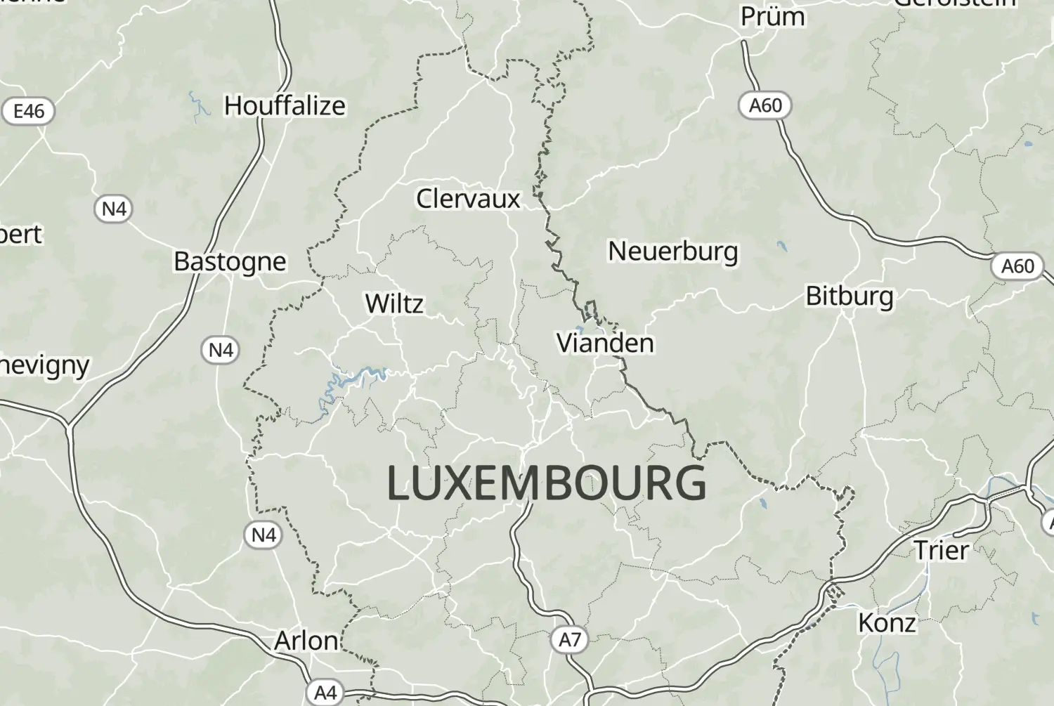
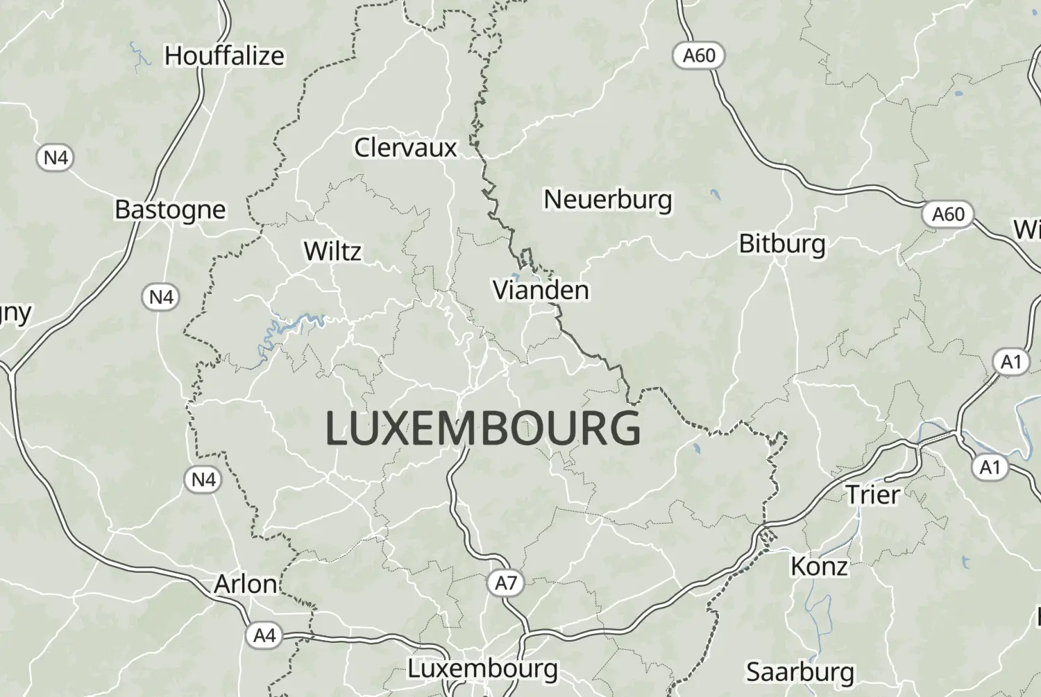
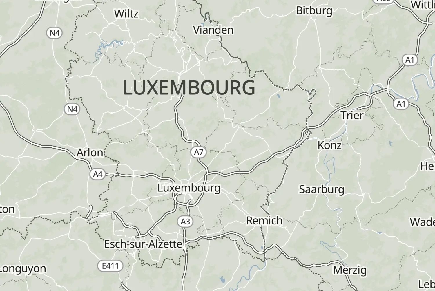
From Diekirch to Rochehaut: a point-to-point ride of 183 km, with an estimated riding time of 2h 55m. This route crosses Luxembourg, Belgium and France.
Route republished from Motorrijder.be with permission; the accompanying article appeared in Motorrijder zomerspecial 2025.
More routes: https://motorrijder.be/gps-tracks/
We use cookies to keep your ride smooth, remember your preferences, and figure out which roads get the most traffic.
Functional
Always active
The technical storage or access is strictly necessary for the legitimate purpose of enabling the use of a specific service explicitly requested by the subscriber or user, or for the sole purpose of carrying out the transmission of a communication over an electronic communications network.
Preferences
The technical storage or access is necessary for the legitimate purpose of storing preferences that are not requested by the subscriber or user.
Statistics
The technical storage or access that is used exclusively for statistical purposes.The technical storage or access that is used exclusively for anonymous statistical purposes. Without a subpoena, voluntary compliance on the part of your Internet Service Provider, or additional records from a third party, information stored or retrieved for this purpose alone cannot usually be used to identify you.
Marketing
The technical storage or access is required to create user profiles to send advertising, or to track the user on a website or across several websites for similar marketing purposes.
 Added by the author