Skip to content

Acht dagen, acht landen — Dag 2

Motorcycle route from Untergröningen to Slupečná · Germany · Baden-Württemberg
Distance 529km
Elevation 6,577m
Duration 7h 20m
Route type Point to point
Curviness Medium
Multi-day Day 2 of 8

Along this route

0 kmUntergröningenStart
529 kmSlupečnáFinish

About this route

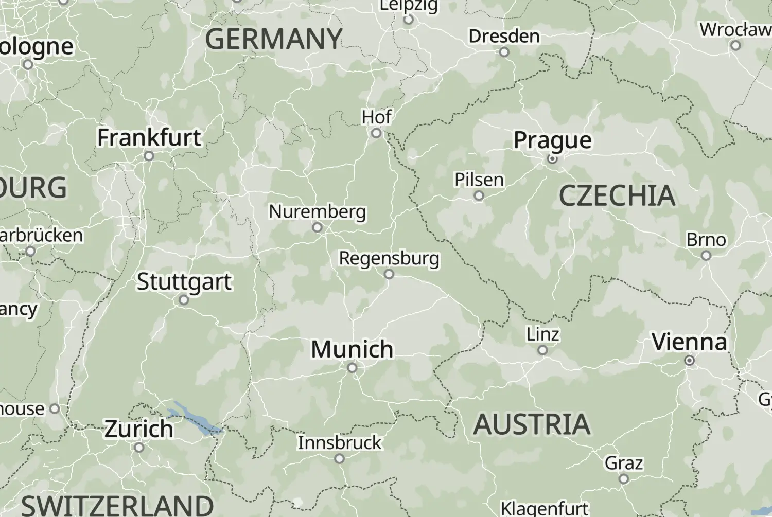
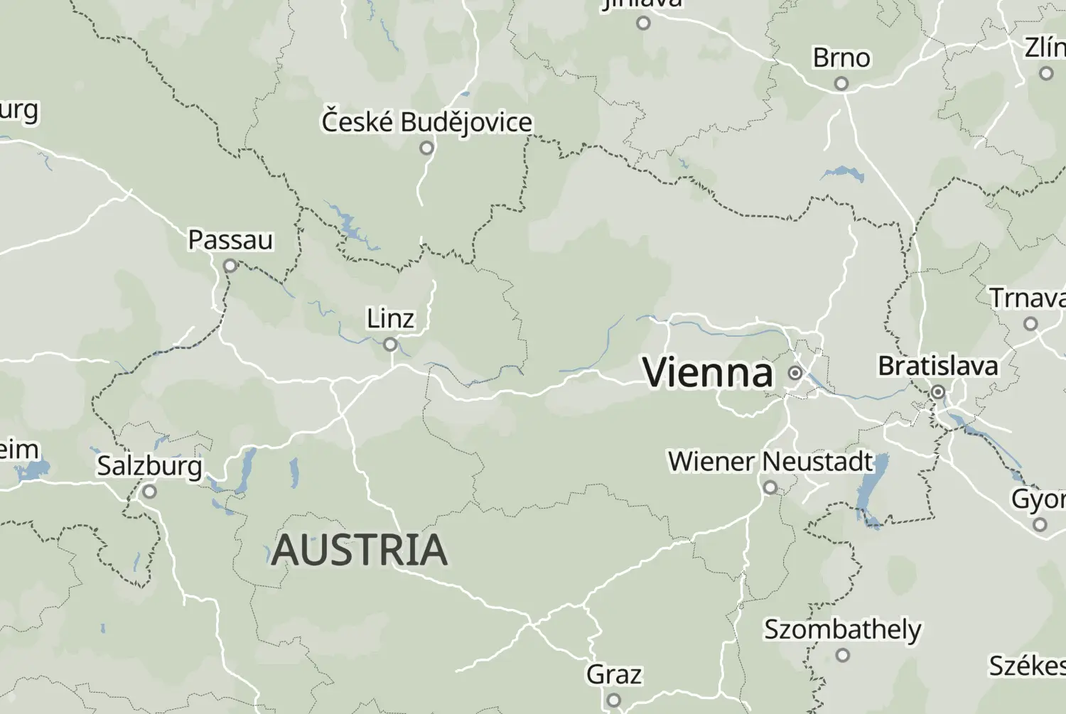
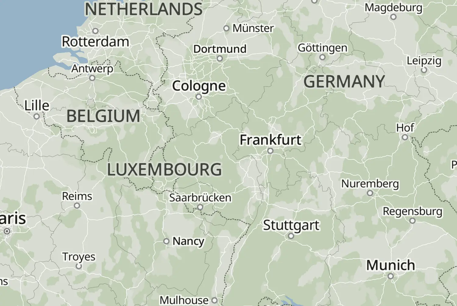
From Untergröningen to Slupečná: a point-to-point ride of 529 km, with an estimated riding time of 7h 20m. This route crosses Germany and Czechia.

Route republished from Motorrijder.be with permission; the accompanying article appeared in Toeren 2025.
More routes: https://motorrijder.be/gps-tracks/

57 downloads
193 views
0 ridden
1 saves

8-day trip

Day 2 of 8 · 3,325 km total

Explore the region

116°/km Medium
100200LowMediumHigh0300+MotorwayMoselArdennes116°/km
0100200300400500372 mkm 6.6Medium 159370 mkm 8.9Medium 159396 mkm 17.7Medium 125519 mkm 33.2Low 53472 mkm 39.9Low 53642 mkm 44.3High 223614 mkm 57.6Low 66477 mkm 62Low 80409 mkm 77.5Low 71538 mkm 86.3Low 82511 mkm 95.2Low 65515 mkm 104.1Medium 161437 mkm 106.3Medium 161435 mkm 115.1Medium 174408 mkm 128.4Low 57383 mkm 139.5Medium 153380 mkm 148.3Low 67393 mkm 150.5Medium 133371 mkm 166Low 59391 mkm 174.9Low 86360 mkm 181.5Low 62371 mkm 190.4Medium 135382 mkm 194.8Medium 135524 mkm 203.7Medium 198468 mkm 212.5Medium 174336 mkm 228Low 67369 mkm 236.9Low 40443 mkm 245.7Medium 128423 mkm 248Medium 128335 mkm 256.8Medium 190346 mkm 272.3Low 65346 mkm 274.5Low 65360 mkm 283.4Low 68470 mkm 292.2Low 49392 mkm 307.7Low 32367 mkm 316.6Low 41377 mkm 318.8Low 41515 mkm 332.1Medium 127502 mkm 343.2Low 53744 mkm 352Medium 177898 mkm 354.2Medium 1771005 mkm 363.1High 232791 mkm 371.9Medium 105759 mkm 387.4High 218807 mkm 394.1High 257542 mkm 405.1Medium 132926 mkm 414Medium 133819 mkm 420.6Low 93861 mkm 431.7Medium 165830 mkm 433.9Medium 1651141 mkm 447.2Medium 1661016 mkm 451.6Medium 143814 mkm 467.1Medium 176824 mkm 471.6Medium 116788 mkm 480.4Low 83804 mkm 487.1Low 83807 mkm 498.1Medium 107749 mkm 504.8Medium 131736 mkm 515.8Medium 110745 mkm 524.7Low 74

Two twisty stretches: km 40 to 50 and km 360 to 400.

108 of 529 km in corners20%

Measured from the route itself, with roundabouts and slip roads left out. Corners are counted, not judged.

Sign in to add your own photos of this route.
Free with a Motarva account.
1 photo
Added by the author
Sign in to leave a review of this route.
Free with a Motarva account.
Sign in to see the weather along this route.
Free with a Motarva account.