Skip to content

Acht dagen, acht landen — Dag 1

Motorcycle route from Tongeren to Untergröningen · Belgium · Limburg
Distance 605km
Elevation 8,425m
Duration 8h 25m
Route type Point to point
Curviness Medium
Multi-day Day 1 of 8

Along this route

0 kmTongerenStart
605 kmUntergröningenFinish

About this route

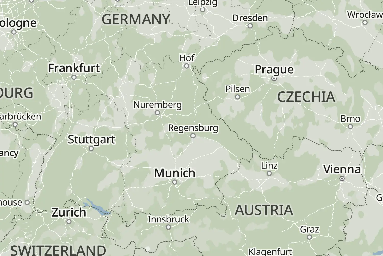
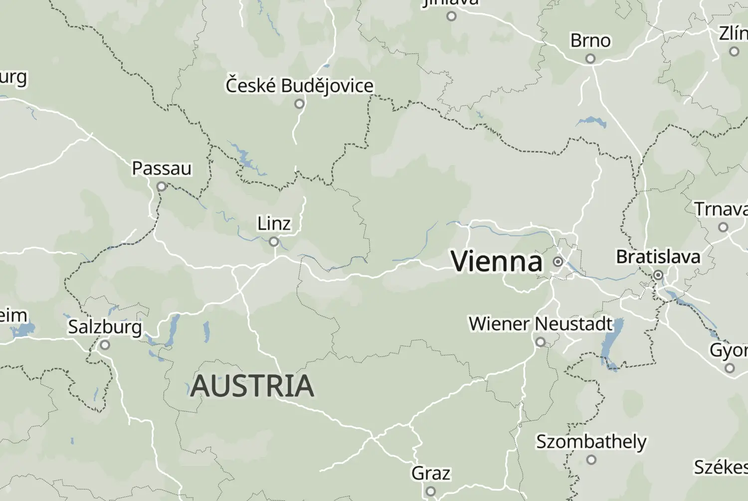
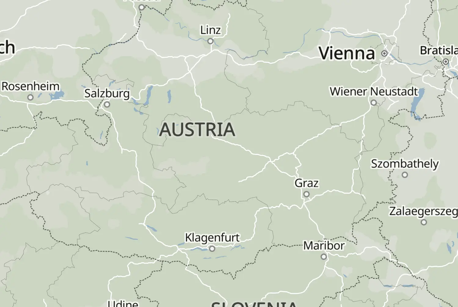
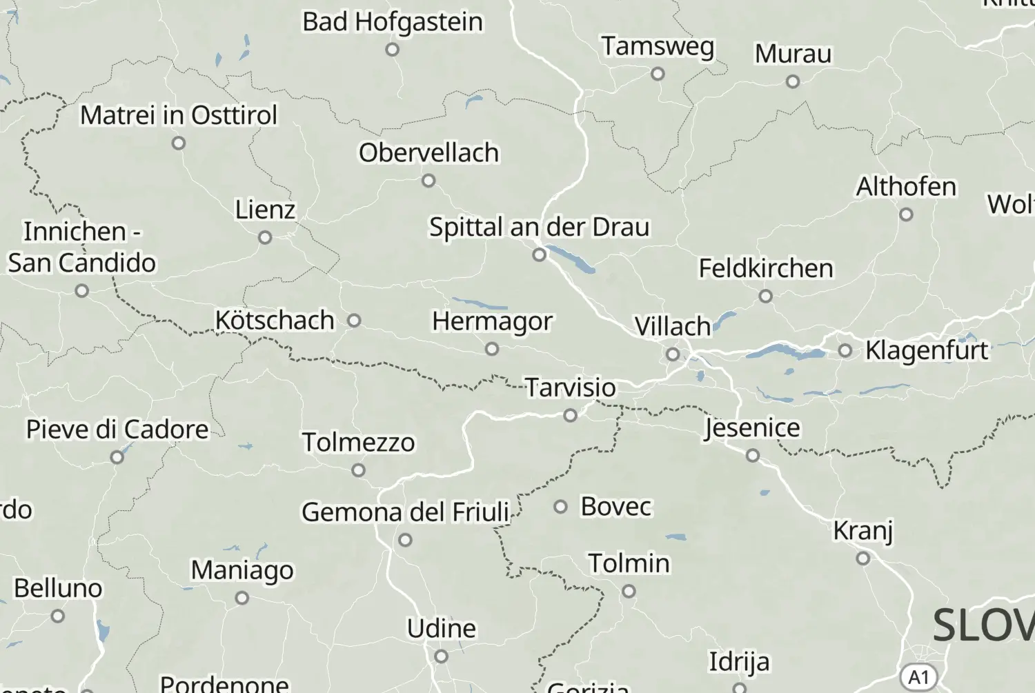
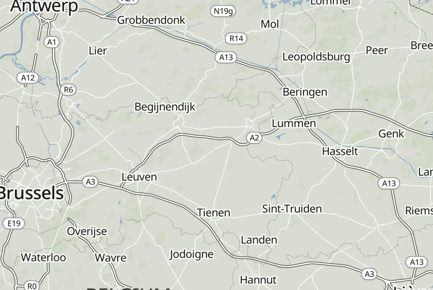
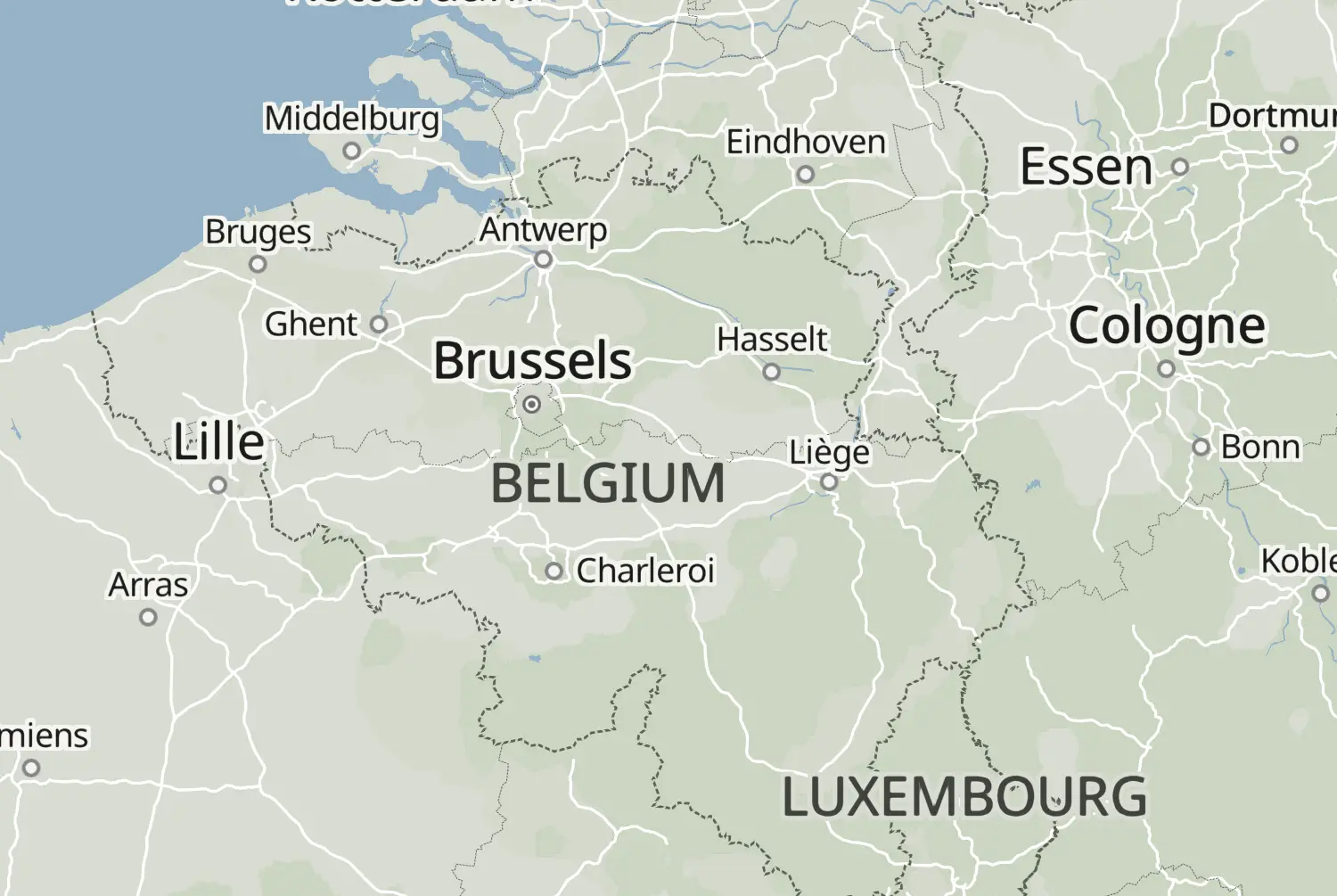
From Tongeren to Untergröningen: a point-to-point ride of 605 km, with an estimated riding time of 8h 25m. This route crosses Belgium and Germany.

Route republished from Motorrijder.be with permission; the accompanying article appeared in Toeren 2025.
More routes: https://motorrijder.be/gps-tracks/

70 downloads
262 views
0 ridden
0 saves

8-day trip

Day 1 of 8 · 3,325 km total

126°/km Medium
100200LowMediumHigh0300+MotorwayMoselArdennes126°/km
050100150200250300350400450500550600152 mkm 7.6Low 33183 mkm 15.2Low 467 mkm 22.8Low 5251 mkm 38Low 24347 mkm 48.1Low 37435 mkm 58.2Low 26416 mkm 68.3Low 30333 mkm 73.4Low 16469 mkm 81Low 32473 mkm 96.2Low 27447 mkm 101.2Low 33513 mkm 119Low 16526 mkm 124Low 23410 mkm 131.6Low 18358 mkm 146.8Low 21385 mkm 151.9Low 32163 mkm 167Medium 126366 mkm 172.1High 306390 mkm 189.8Medium 133538 mkm 199.9Medium 140699 mkm 205Medium 114349 mkm 217.7Low 99400 mkm 222.7Medium 127217 mkm 232.8Medium 117213 mkm 250.6Medium 114188 mkm 260.7Medium 152216 mkm 268.3Medium 152241 mkm 280.9Medium 139251 mkm 286Medium 139444 mkm 301.2High 269307 mkm 311.3High 299272 mkm 313.8High 299175 mkm 329High 213263 mkm 341.7High 227309 mkm 344.2High 227146 mkm 354.3Medium 156108 mkm 364.5Low 2896 mkm 377.1Low 597 mkm 384.7Low 13108 mkm 394.8Low 495 mkm 410High 295303 mkm 422.7High 207285 mkm 432.8High 406221 mkm 435.3High 406318 mkm 445.4Medium 104337 mkm 455.6High 299290 mkm 465.7High 277497 mkm 483.4Medium 165542 mkm 485.9Medium 165333 mkm 503.7Medium 125324 mkm 511.3Medium 124216 mkm 516.3Medium 124238 mkm 534High 244334 mkm 544.2Medium 135233 mkm 551.7High 233385 mkm 556.8High 233397 mkm 566.9High 245390 mkm 577.1Medium 117341 mkm 587.2Low 99364 mkm 604.9Medium 177

5 twisty stretches. The three longest: km 300 to 350, km 410 to 470 and km 530 to 570.

126 of 605 km in corners21%

Measured from the route itself, with roundabouts and slip roads left out. Corners are counted, not judged.

Sign in to add your own photos of this route.
Free with a Motarva account.
1 photo
Added by the author
Sign in to leave a review of this route.
Free with a Motarva account.
Sign in to see the weather along this route.
Free with a Motarva account.