Skip to content

Moezelstreek (2-daagse) — Dag 2

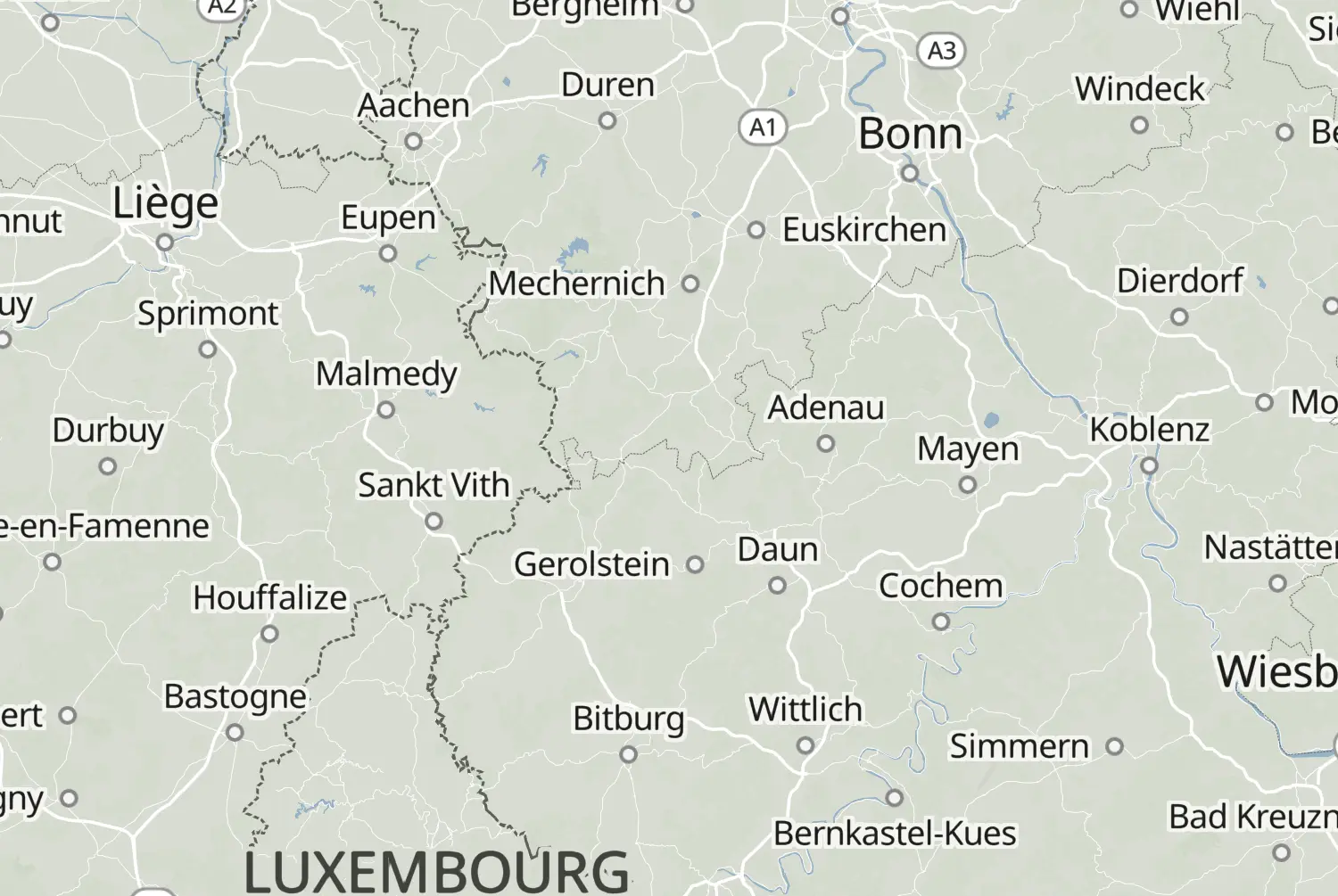
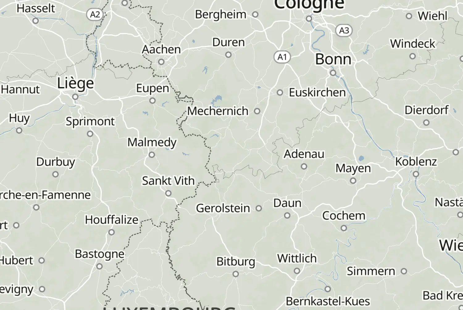
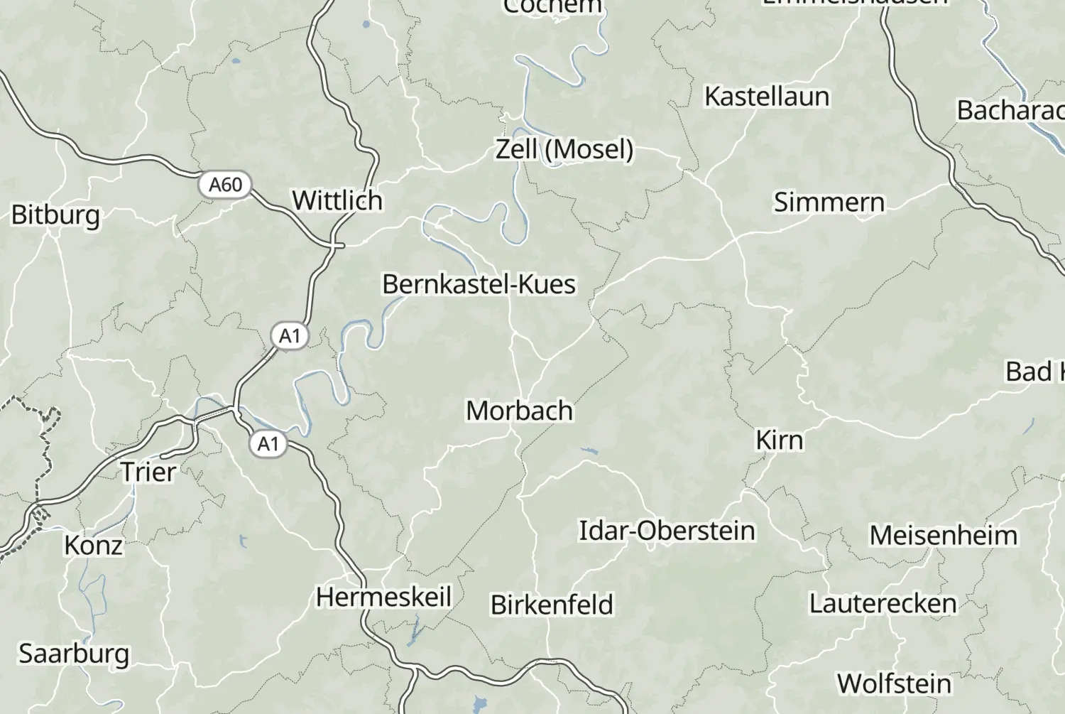
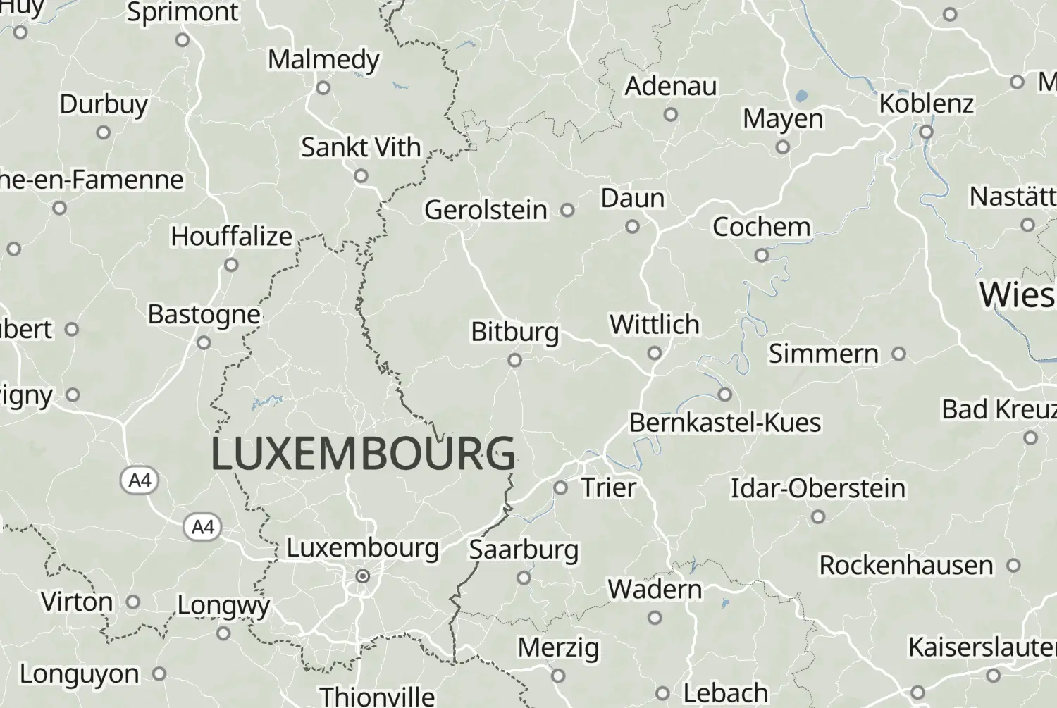
Motorcycle route from Reil to Eupen · Germany · Rhineland-Palatinate
Distance 167km
Elevation 2,934m
Duration 2h 40m
Route type Point to point
Curviness Medium
Multi-day Day 2 of 2

Along this route

0 kmReilStart
167 kmEupenFinish

About this route

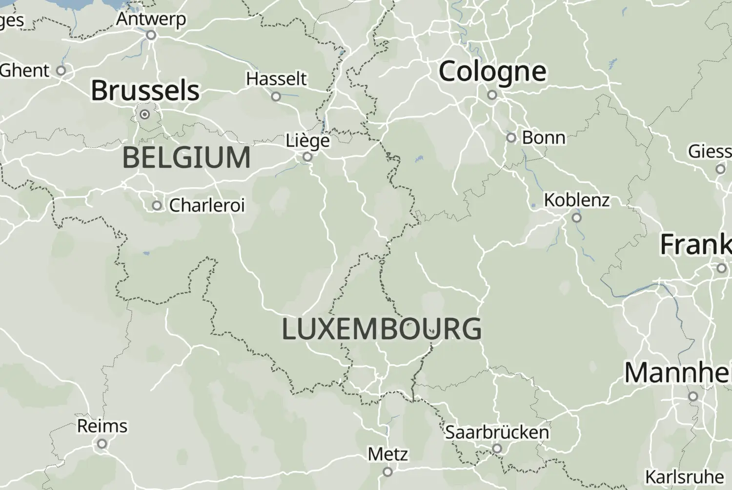
From Reil to Eupen: a point-to-point ride of 167 km, with an estimated riding time of 2h 40m. This route crosses Germany and Belgium.

Route republished from Motorrijder.be with permission; the accompanying article appeared in Motorrijder juli 2023.
More routes: https://motorrijder.be/gps-tracks/

41 downloads
160 views
0 ridden
0 saves

2-day trip

Day 2 of 2 · 418 km total

159°/km Medium
100200LowMediumHigh0300+MotorwayMoselArdennes159°/km
0306090120150118 mkm 2.1Medium 15897 mkm 4.9Medium 158100 mkm 5.6Low 3396 mkm 8.4Low 33119 mkm 11.2Low 4794 mkm 15.4Medium 143107 mkm 16.8Medium 143140 mkm 19.6Medium 143158 mkm 22.4High 206226 mkm 25.2High 490352 mkm 28High 490395 mkm 30.8Medium 135427 mkm 33.5Medium 135348 mkm 36.3Medium 178457 mkm 39.1Medium 178456 mkm 41.9Low 65418 mkm 46.8Medium 179519 mkm 49.6Medium 179511 mkm 50.3High 399437 mkm 55.2Medium 130465 mkm 55.9Medium 130517 mkm 58.7Medium 130540 mkm 63.6Medium 169576 mkm 65Medium 169502 mkm 69.2High 256516 mkm 69.9High 256436 mkm 74.8Medium 174416 mkm 76.9Medium 161407 mkm 80.4High 209415 mkm 81.1High 209461 mkm 83.9High 209569 mkm 88.8High 209556 mkm 91.6High 264559 mkm 93.7High 264592 mkm 97.1Medium 186614 mkm 98.5Medium 186577 mkm 100.6Medium 198498 mkm 105.5Medium 154512 mkm 108.3Medium 154571 mkm 111.1Low 92641 mkm 113.2Low 92619 mkm 116.7Medium 142624 mkm 118.1Medium 142470 mkm 122.3High 227490 mkm 125.1Low 75524 mkm 125.8Low 75610 mkm 130.7Low 49637 mkm 133.5Low 49623 mkm 135.6Low 28619 mkm 137Low 28577 mkm 139.8Low 28451 mkm 144.7Medium 169482 mkm 147.5High 363568 mkm 150.3Low 29593 mkm 151Low 29561 mkm 155.9Low 0486 mkm 158.7Low 0422 mkm 161.4High 201309 mkm 164.2High 201326 mkm 165.6High 201

7 twisty stretches. The three longest: km 20 to 30, km 50 to 55 and km 80 to 95.

37.8 of 167 km in corners23%

Measured from the route itself, with roundabouts and slip roads left out. Corners are counted, not judged.

Sign in to add your own photos of this route.
Free with a Motarva account.
1 photo
Added by the author
Sign in to leave a review of this route.
Free with a Motarva account.
Sign in to see the weather along this route.
Free with a Motarva account.