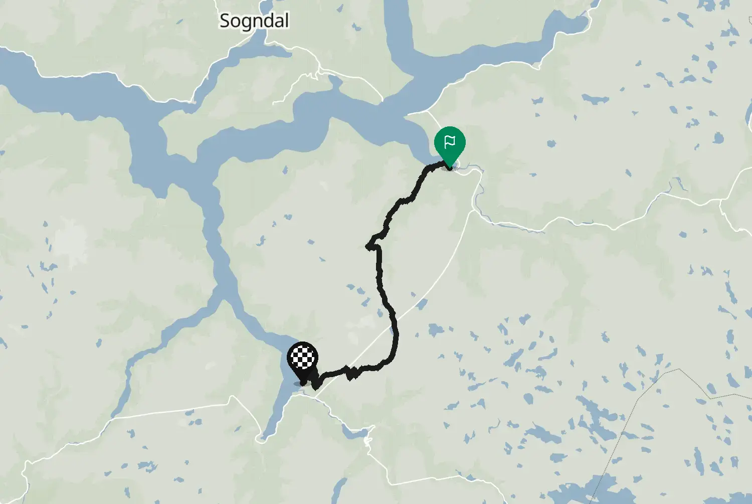
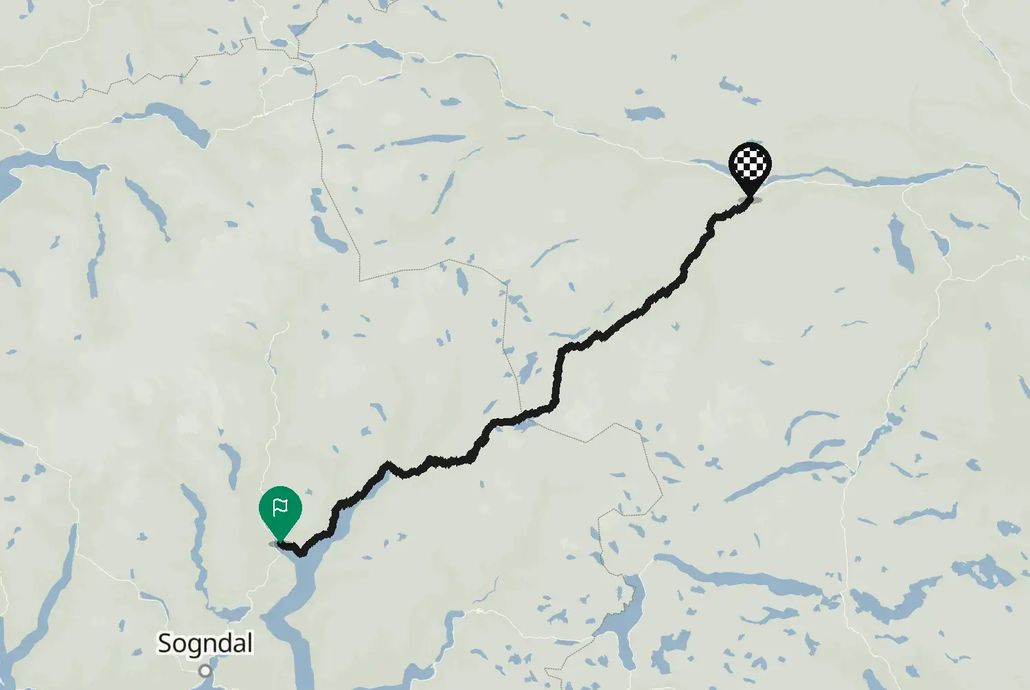
Motorcycle route from Eidfjord to Hol · Norway · Vestland
Distance64.440.0kmmi
Elevation2,4037,880mft
Duration2h 1m
Route typePoint to point
CurvinessMedium
Along this route
0 km0 miEidfjordStart
64 km40 miHolFinish
About this route
Road 7 from Eidfjord up through the Måbødalen valley, past the Vøringsfossen waterfall and across the Hardangervidda plateau towards Haugastøl. Tunnels and hairpins on the climb, then wide open mountain plateau. Open all year, but in winter it can close or run in convoy in bad weather. One of Norway's 18 National Tourist Routes.
Check road conditions, closures and opening dates before you ride.
Source: Statens vegvesen, Nasjonal vegdatabank (NVDB), road object 777/401491075. «Inneholder data under norsk lisens for offentlige data (NLOD) tilgjengeliggjort av Statens vegvesen.» Licence: https://data.norge.no/nlod/no/1.0. Modified by Motarva: the route line was put together from the NVDB road segments. This is not an official route file from Statens vegvesen.
5 twisty stretches. The three longest: km 6 to 17, km 53 to 55 and km 60 to 64.5 twisty stretches. The three longest: mi 4 to 11, mi 33 to 34 and mi 37 to 40.
22.9 of 64.4 km in corners14.2 of 40 miles in corners36%
Measured from the route itself, with roundabouts and slip roads left out. Corners are counted, not judged.
We use cookies to keep your ride smooth, remember your preferences, and figure out which roads get the most traffic.
Functional
Always active
The technical storage or access is strictly necessary for the legitimate purpose of enabling the use of a specific service explicitly requested by the subscriber or user, or for the sole purpose of carrying out the transmission of a communication over an electronic communications network.
Preferences
The technical storage or access is necessary for the legitimate purpose of storing preferences that are not requested by the subscriber or user.
Statistics
The technical storage or access that is used exclusively for statistical purposes.The technical storage or access that is used exclusively for anonymous statistical purposes. Without a subpoena, voluntary compliance on the part of your Internet Service Provider, or additional records from a third party, information stored or retrieved for this purpose alone cannot usually be used to identify you.
Marketing
The technical storage or access is required to create user profiles to send advertising, or to track the user on a website or across several websites for similar marketing purposes.