Motorcycle route from Montarnaud to Pignan · France · Occitania
Distance15898.1kmmi
Elevation2,3997,870mft
Duration3h 16m
Route typePoint to point
CurvinessHigh
Along this route
0 km0 miMontarnaudStart
158 km98 miPignanFinish
About this route
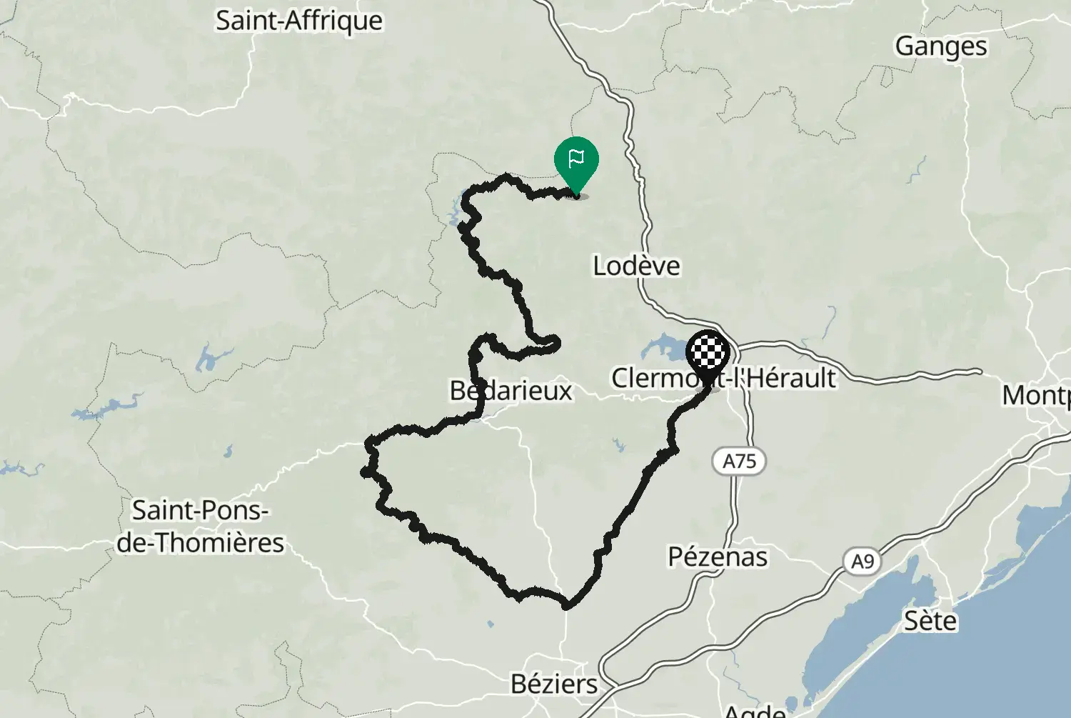
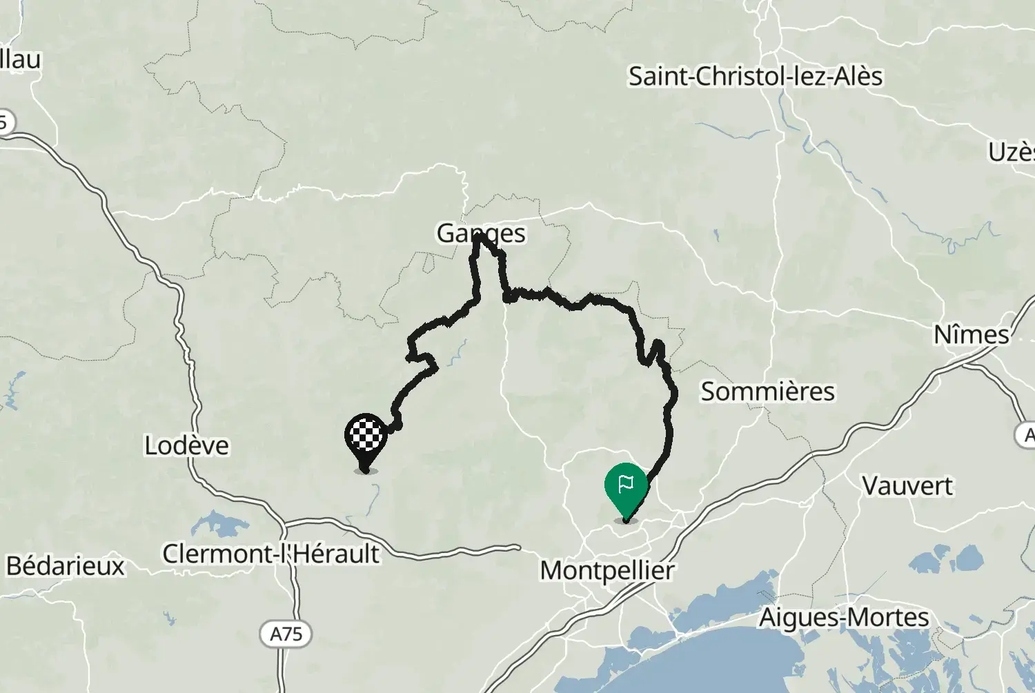
Circuit 1 of the motorcycle circuits laid out by the Hérault department. From Montarnaud past Aniane and Arboras, up onto the edge of the Larzac at Saint-Pierre-de-la-Fage and Roqueredonde, down to Lodève, then south through Salasc and Le Pouget to Pignan, west of Montpellier.
Check road conditions, closures and opening dates before you ride.
Source: Conseil départemental de l'Hérault - données originales téléchargées sur https://www.data.gouv.fr/datasets/circuits-moto-de-lherault, mise à jour du 25 octobre 2026. Licence Ouverte 2.0 (Etalab): https://www.etalab.gouv.fr/wp-content/uploads/2017/04/ETALAB-Licence-Ouverte-v2.0.pdf. Modified by Motarva: the department's two parts of this circuit were joined into one line, and the line was converted to GPX. This is not an official publication of the Hérault department.
We use cookies to keep your ride smooth, remember your preferences, and figure out which roads get the most traffic.
Functional
Always active
The technical storage or access is strictly necessary for the legitimate purpose of enabling the use of a specific service explicitly requested by the subscriber or user, or for the sole purpose of carrying out the transmission of a communication over an electronic communications network.
Preferences
The technical storage or access is necessary for the legitimate purpose of storing preferences that are not requested by the subscriber or user.
Statistics
The technical storage or access that is used exclusively for statistical purposes.The technical storage or access that is used exclusively for anonymous statistical purposes. Without a subpoena, voluntary compliance on the part of your Internet Service Provider, or additional records from a third party, information stored or retrieved for this purpose alone cannot usually be used to identify you.
Marketing
The technical storage or access is required to create user profiles to send advertising, or to track the user on a website or across several websites for similar marketing purposes.