Skip to content

Ardennen en Eifel (2-daagse) — Dag 2

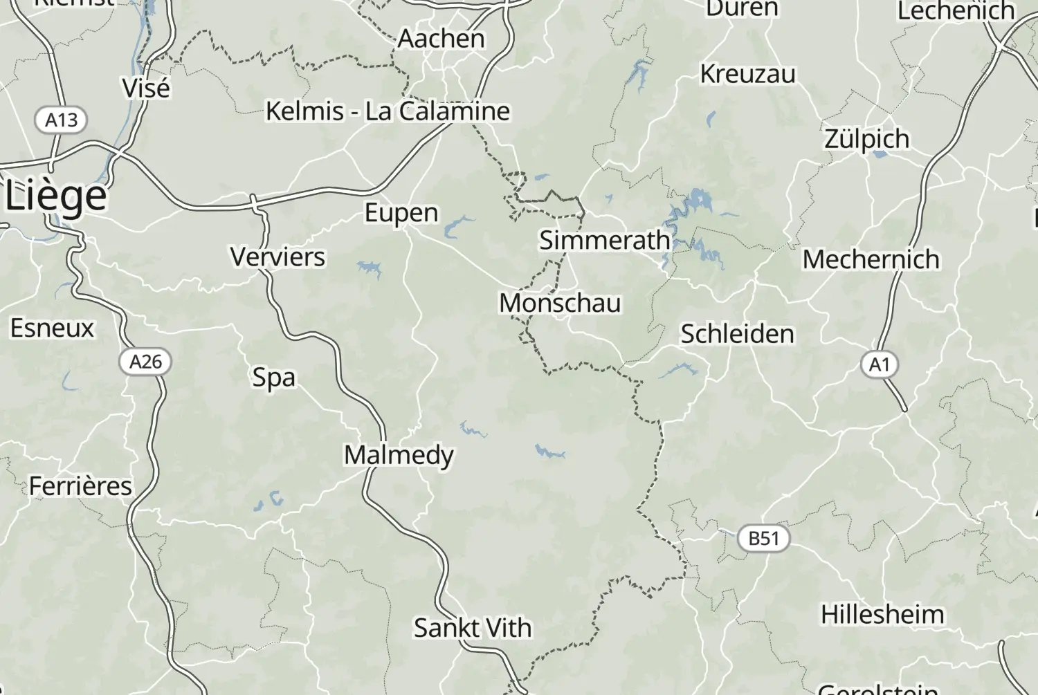
Motorcycle route from Saint Vith to Verviers · Belgium · Liège
Distance 150km
Elevation 2,364m
Duration 3h 10m
Route type Point to point
Curviness Medium
Multi-day Day 2 of 2

Along this route

0 kmSaint VithStart
150 kmVerviersFinish

About this route

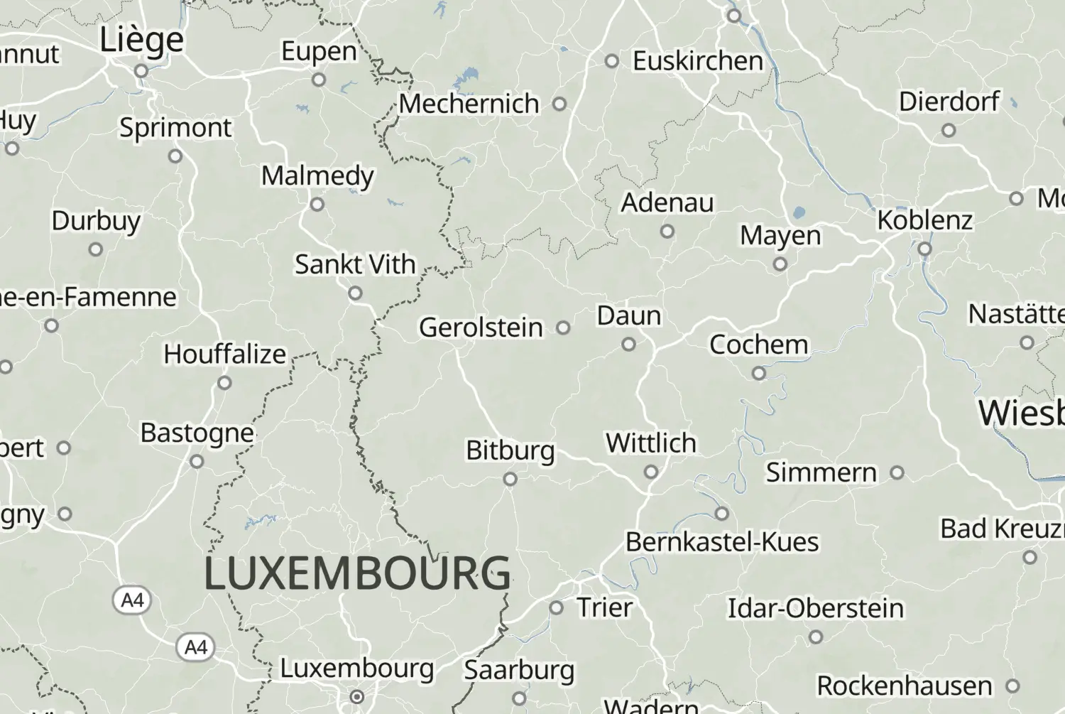
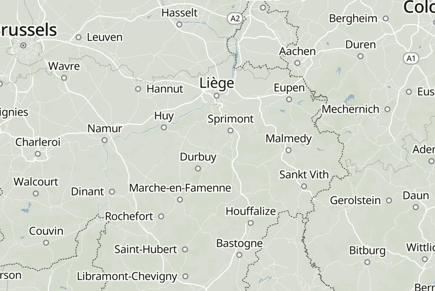
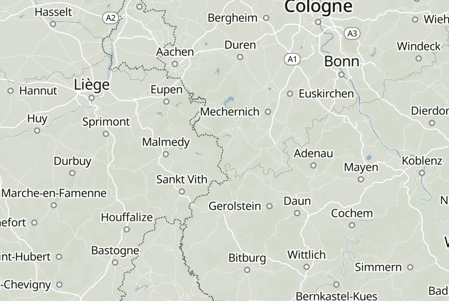
From Saint Vith to Verviers: a point-to-point ride of 150 km, with an estimated riding time of 3h 10m. This route crosses Belgium and Germany. A genuinely twisty ride.

Route republished from Motorrijder.be with permission; the accompanying article appeared in Motorrijder juni 2023.
More routes: https://motorrijder.be/gps-tracks/

50 downloads
169 views
0 ridden
0 saves

2-day trip

Day 2 of 2 · 314 km total

189°/km Medium
100200LowMediumHigh0300+MotorwayMoselArdennes189°/km
0255075100125427 mkm 0Low 61513 mkm 4.4Low 94534 mkm 5Low 94509 mkm 9.4High 445498 mkm 10High 321562 mkm 12.5Medium 138591 mkm 15.1Low 63516 mkm 19.4High 319495 mkm 20.7Medium 127501 mkm 22.6Low 85503 mkm 27Medium 182531 mkm 27.6Medium 182574 mkm 30.1High 326546 mkm 32.6Low 88640 mkm 36.4Low 97618 mkm 37.6Low 97498 mkm 40.1Low 91466 mkm 42.6Low 64402 mkm 47Medium 134484 mkm 49.5High 502511 mkm 50.2High 226502 mkm 54.6High 353450 mkm 55.2High 353405 mkm 57.7High 228456 mkm 62.1Medium 102412 mkm 62.7Medium 102357 mkm 65.2High 558493 mkm 69.6Low 85493 mkm 70.2Low 92445 mkm 74.6High 341419 mkm 75.3High 341359 mkm 79.6High 835416 mkm 80.9Medium 115452 mkm 84Medium 186299 mkm 87.2High 263233 mkm 89.1High 450299 mkm 90.3High 645450 mkm 94.7Medium 115453 mkm 95.3Medium 115526 mkm 99.7Low 66554 mkm 100.3Low 7580 mkm 102.9Low 0471 mkm 107.2Low 98441 mkm 107.9Low 98323 mkm 112.3Medium 189362 mkm 112.9Medium 189273 mkm 116Medium 108280 mkm 119.2High 261290 mkm 122.3Low 78287 mkm 124.8High 271260 mkm 127.3Medium 126253 mkm 129.8High 268254 mkm 130.4Medium 193256 mkm 134.8Medium 185266 mkm 135.5Medium 185280 mkm 139.2High 263261 mkm 140.5High 508189 mkm 144.9High 225180 mkm 147.4Medium 102169 mkm 149.3High 604

11 twisty stretches. The three longest: km 48 to 58, km 74 to 94 and km 138 to 150.

33.8 of 150 km in corners23%

Measured from the route itself, with roundabouts and slip roads left out. Corners are counted, not judged.

Sign in to add your own photos of this route.
Free with a Motarva account.
1 photo
Added by the author
Sign in to leave a review of this route.
Free with a Motarva account.
Sign in to see the weather along this route.
Free with a Motarva account.